If You Walk in Brooklyn, Chances Are You’ll Cross a Street That Needs Fixing

DOT released its Vision Zero pedestrian safety plan for Brooklyn today. As with analyses issued earlier this week of Queens, Manhattan, and the Bronx, the Brooklyn report [PDF] singles out streets, intersections, and swaths of neighborhoods where motorists make it especially dangerous to walk.
Judging by the “priority map,” most major streets in Brooklyn are in need of safety improvements. Forty-nine “priority corridors” and 91 “priority intersections” account for over half of crashes that kill or seriously injure pedestrians. In addition, DOT identified 17 square miles of “priority areas,” where 40 percent of serious crashes occur. Those include Crown Heights, Brownsville, Sunset Park, and Borough Park.
Other factoids from the Brooklyn report:
- Reckless driver behaviors including speeding, failure to yield, running red lights, and distracted and drunk driving cause or contribute to 65 percent of Brooklyn pedestrian fatalities.
- Drivers leave the scene in 25 percent of fatal pedestrian collisions.
- Almost one in five pedestrian deaths in Brooklyn occur between midnight and 6 a.m., and 33 percent happen on weekends -- times when Albany restrictions forbid the city to use speed cameras.
- Drivers of passenger vehicles are involved in 75 percent of pedestrian deaths, the most of any vehicle type by far, followed by truck drivers (9 percent of fatal crashes) and bus drivers (4 percent).
- Seniors account for 12 percent of Brooklyn’s population and 36 percent of pedestrian fatalities.
- Drivers who hit child pedestrians are the second leading cause of injury and death for school-age children in Brooklyn.
As in the rest of the city, Brooklyn “arterials” are the most deadly places for walking. Streets including Atlantic Avenue, Ocean Avenue, and Fourth Avenue make up just 14 percent of the Brooklyn road network, but are the site of 60 percent of pedestrian fatalities.
The Brooklyn action plan is, again, short on specific fixes. In addition to measures outlined in all five reports -- like new signage and lighting, leading pedestrian intervals, traffic signal timing -- DOT says it will install 60 new speed humps in Brooklyn each year, and will work to prioritize neighborhood Slow Zones in the borough.
Stay in touch
Sign up for our free newsletter
More from Streetsblog New York City
City Considers Fixes for Another Ridiculously Slow Cross-Bronx Bus
Potential bus improvements are on the table for the Bronx's Tremont Avenue, but the Adams administration's failures on nearby Fordham Road loom large.
DOT Unveils First Step for Park Row Redesign
The city hopes to make Park Row more appealing to residents and visitors. But the real work is years off.
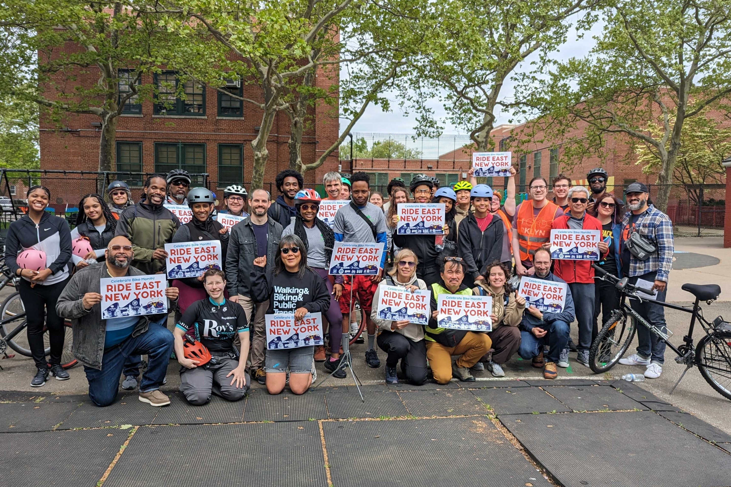
Monday’s Headlines: East New York’s New Bikes Lanes Reduced Crashes Edition
Initial results show East New York's protected bike lanes made Cozine and Wortman avenues safer. Plus more news.
Stockholm Leader’s Message to NYC: ‘Congestion Pricing Just Works’
"In Stockholm, people really thought that congestion pricing would be the end of the world, the city will come to a standstill, no one would be able to get to work anymore and all the theaters and shops would just go bankrupt. None of that happened."

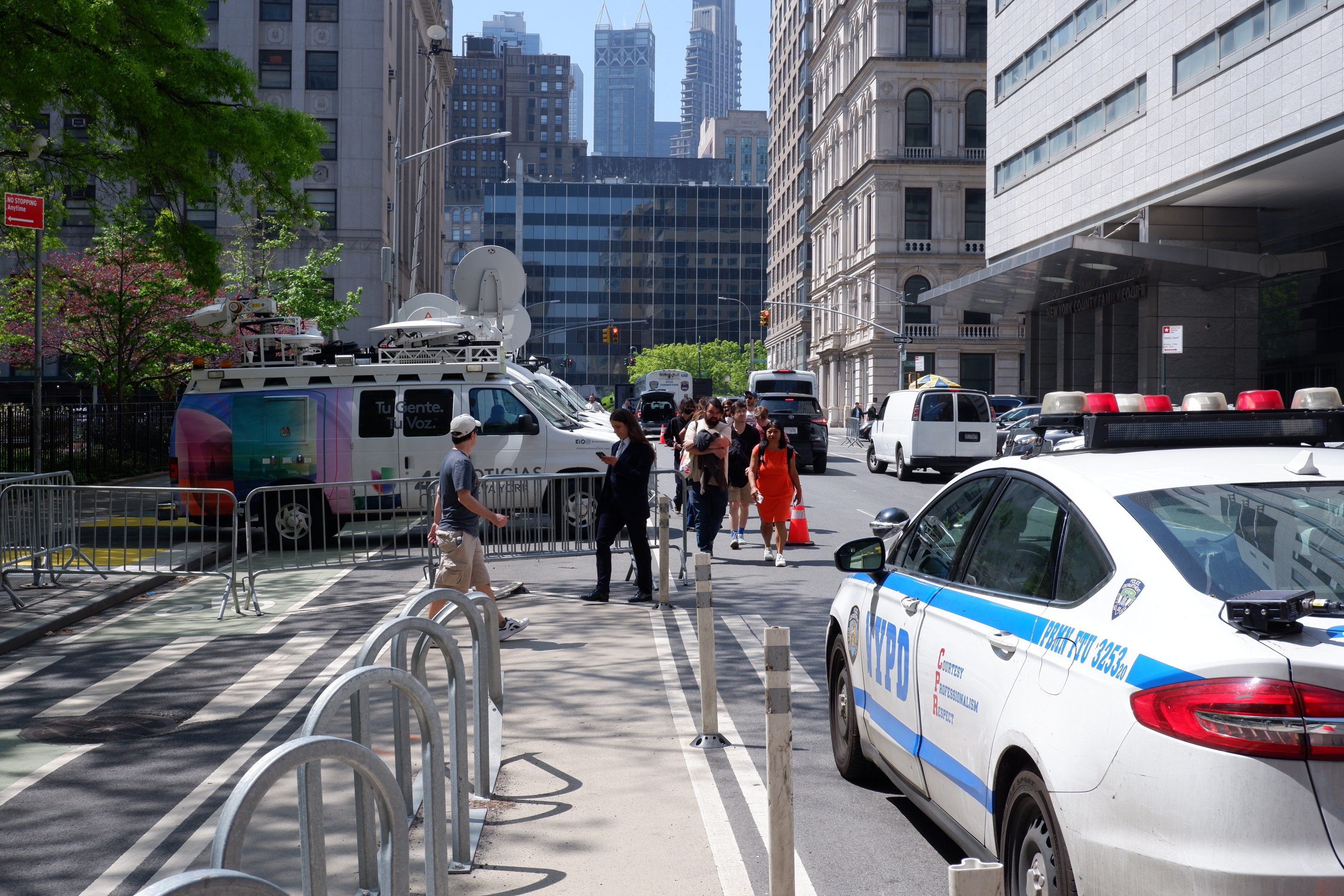
Friday’s Headlines: Trump Trial Trumps Safety Edition
Is anyone going to bother to fix the dangerous mess on the streets and plazas around the Trump trial? Plus more news.