City Planning Department Suggests Safer Streets, Better Buses for Red Hook

Cut off from the rest of the borough by the Brooklyn-Queens Expressway and lacking direct subway access, Red Hook can feel like an isolated part of Brooklyn. A study from the Department of City Planning, released last November, calls for expanded pedestrian space, new bus service to Manhattan, and bicycle and pedestrian safety fixes throughout the neighborhood.
A common complaint from Red Hook residents is that there aren't enough transit connections to the area. Mostly beyond the reach of the F and G trains, the neighborhood is served only by the B57 and B61 buses. Nevertheless, most people depend on transit: Three-quarters of households in the neighborhood are car-free, compared to 55 percent citywide, and 61 percent of residents commute by train or bus.
Transit improvements have been difficult to secure. DOT studied and rejected a streetcar to Red Hook in 2011. While ferries have proven politically popular, especially warm-weather shuttles to IKEA operated by New York Waterway, DCP pointed to the 2011 Comprehensive Citywide Ferry Study, currently being updated, which found expanded ferry service to require too much subsidy to be feasible.
DCP is more receptive to the idea of a direct bus connection to Manhattan via the Brooklyn Battery Tunnel. The agency says the extension of the M22, which runs between Battery Park City and Corlears Hook, just south of the Williamsburg Bridge, is a "viable option" that requires more study from the MTA. An alternative could be a peak-period shuttle, though DCP does not prefer this limited option.
The report's recommendations aren't limited to transit. Bicycling and street safety feature prominently, as well.
The report calls for changes to Woodhull Street where it makes a U-turn over the entrance to the tunnel. It suggests signage to direct cyclists to nearby Summit and Bowne Streets as alternate routes, expanded pedestrian and green space, and the installation of bollards and pedestrian crossings. These changes could transform the area from a wide-open expanse of asphalt to a more pedestrian-friendly space.

Another area on deck for big changes: Hamilton Avenue, which runs beneath the Gowanus Expressway and is a well-known danger zone for pedestrians and cyclists. In 2013, 60-year-old Lillian Cruz was killed by a tractor-trailer driver at Hamilton and Court Street. DCP is calling for the study of additional pedestrian crossings at Court Street, West 9th Street, Mill Street and Centre Street, as well as an upgraded median beneath the expressway featuring a pedestrian walkway with vegetation, seating, and improved lighting.
Changes could be coming soon to the southern end of Hamilton Avenue: The transportation committees of Community Boards 6 and 7 have both voted to support a DOT plan to construct a missing link in the Brooklyn Waterfront Greenway between Red Hook and Sunset Park along Hamilton and Third Avenues [PDF].
DCP recommends more east-west connections in the neighborhood's bike network, including to the Brooklyn Waterfront Greenway. The report suggests a shared lane on Wolcott Street extending to the western waterfront and an extension of the West 9th Street bike route in Carroll Gardens across Hamilton Avenue to Columbia Street. It also suggests that DOT re-stripe the existing bike route on Bay Street, work with the community to identify locations for additional bike racks, and daylight the intersection of Van Brunt Street and Sullivan Street due to the high number of bike crashes there.
On Tuesday, the Brooklyn Greenway Initiative unveiled a proposal to integrate bikeway upgrades into green infrastructure and storm protection that would protect Red Hook from future flooding. Resiliency is largely missing from DCP's report, and it's something Council Member Carlos Menchaca's office wants to see included in the neighborhood's transportation plans.
"There are natural synergies between the resiliency planning that's happening in Red Hook and transportation planning," said Lee Wellington, Menchaca's chief of staff. She mentioned the request for proposals from EDC for an integrated Red Hook flood protection plan. "These agencies are doing work in parallel with one another," she said.
Stay in touch
Sign up for our free newsletter
More from Streetsblog New York City
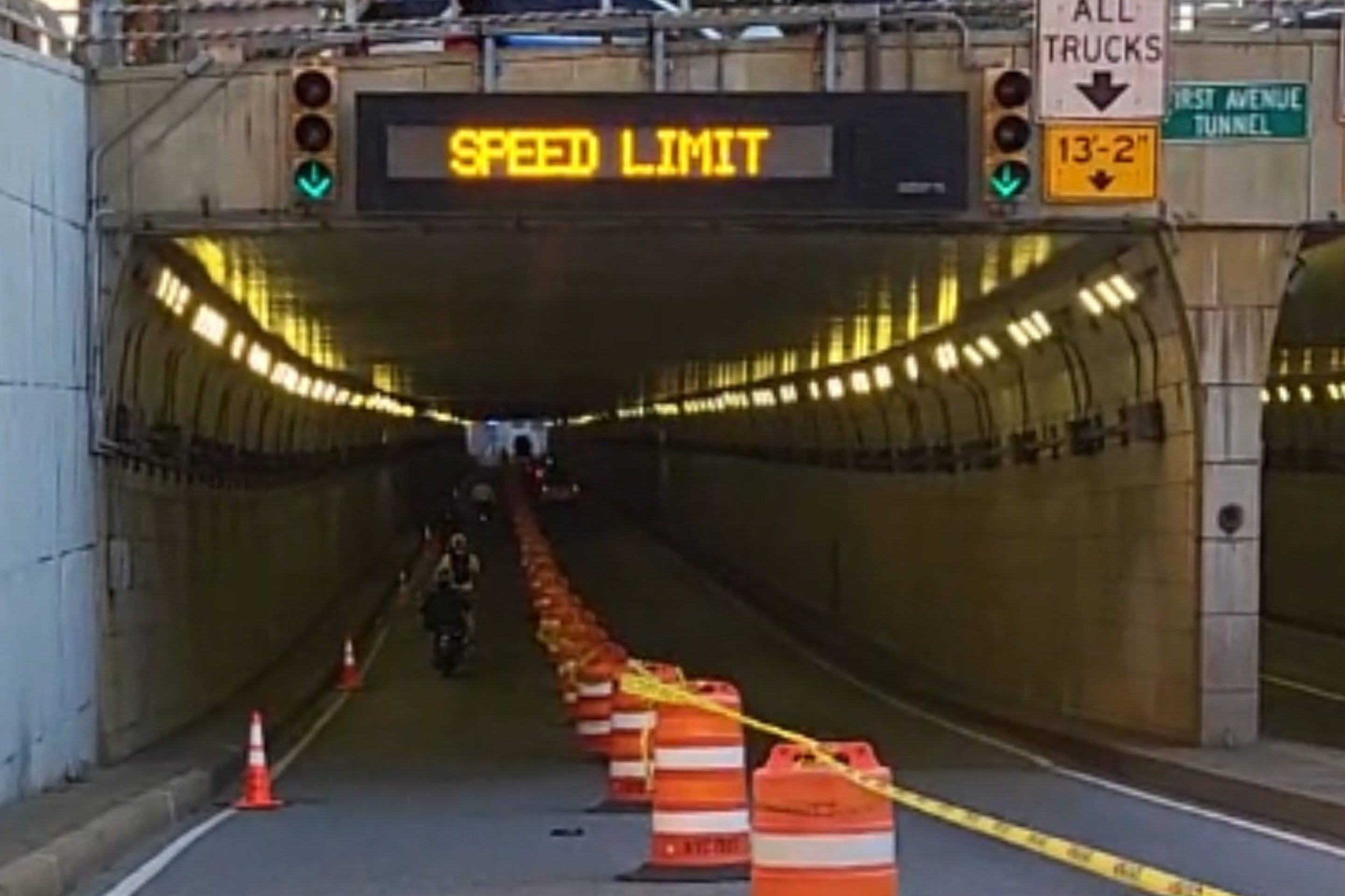
DOT Aims to Build First Ave. Tunnel Bike Lane Before September’s UN General Assembly
DOT hopes to have the concrete-protect tunnel bike lane installed this summer, but its exact plans are still in development.
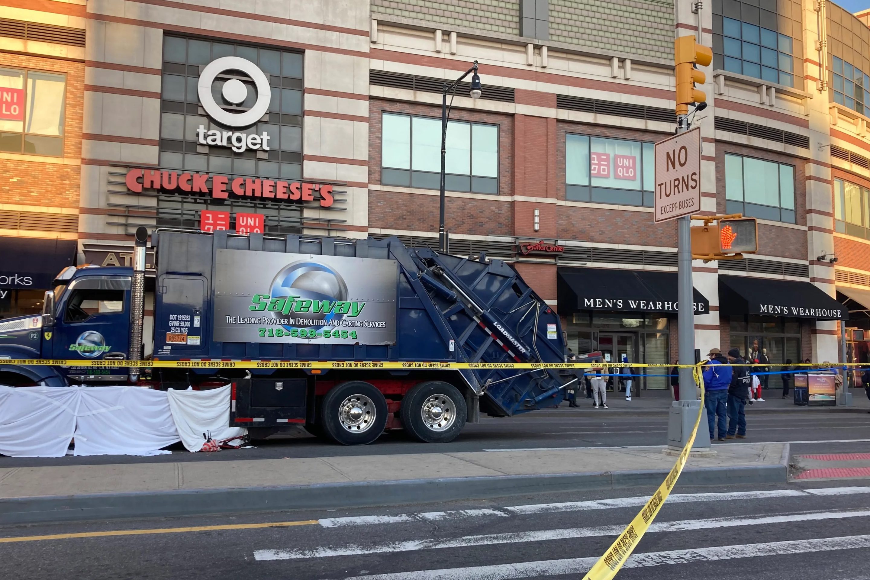
Waste Reforms Could Require Data on Crashes, Dangerous Driving
The proposal affects at least one trucking company with a deadly driving record.
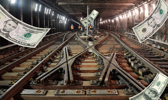
When it Comes to Federal Infrastructure Grants, Size Does Matter
Cities and municipalities with larger budgets and staff are more likely to win competitive federal infrastructure grants, the Urban Institute has found.
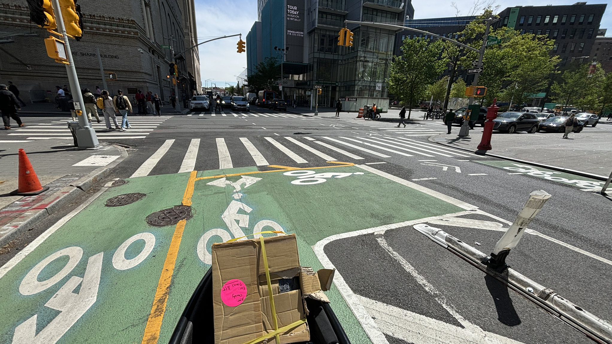
Tuesday’s Headlines: Real Estate Greed Against Good Bike Lane Design Edition
A real estate developer's opposition to the Ashland Place protected bike lane yields some baffling bike lane markings. Plus more news.
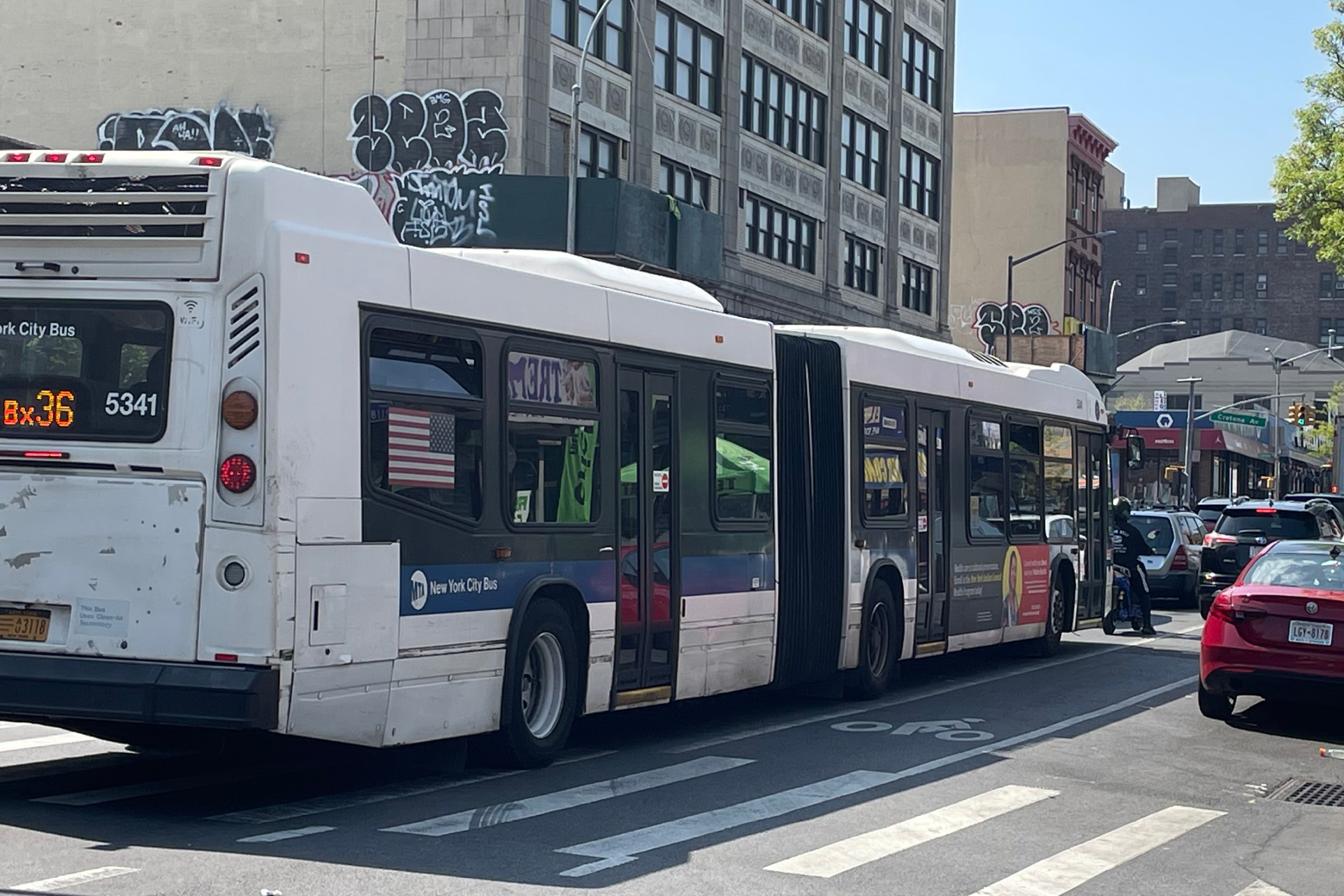
City Considers Fixes for Another Ridiculously Slow Cross-Bronx Bus
Potential bus improvements are on the table for the Bronx's Tremont Avenue, but the Adams administration's failures on nearby Fordham Road loom large.