CrashStat Upgrade Provides Interactive, Up-To-Date Street Safety Data

Transportation Alternatives launched an updated version of its CrashStat website today, providing a wealth of new data about street safety in New York City and where pedestrians and cyclists are most at risk. The upgrade adds four years of geo-coded data about traffic injuries and fatalities, a smoother interface, and a wealth of interactive features.
More than 13,000 pedestrians and cyclists are injured or killed by motor vehicles in the city every year, according to state DOT data, and CrashStat puts information about those crashes at New Yorkers' fingertips. If you want to know which streets in your neighborhood are most in need of safety fixes, CrashStat lets you to locate the most dangerous intersections and corridors. Before this update, the most recent data on file in CrashStat was from 2005; the new version includes information up to and including 2009.
The new version also allows users to see who is affected by unsafe streets and what's causing pedestrian and cyclist injuries. You can filter the crash information to see where children or seniors are particularly vulnerable, for instance, or to highlight the crashes caused by excessive motor vehicle speeds or distracted driving. Users can look at safety stats by legislative district, police precinct or neighborhood, helping activists marshal data specific to their area.
“By revealing where and why motor vehicle crashes occur, CrashStat gives all New Yorkers the information they need to demand better enforcement of our traffic laws," said TA director Paul Steely White in an announcement about the upgrades. "This is critical to changing behavior on our streets.”
According to the new CrashStat data, the most dangerous intersection for pedestrians in the city is the corner of Park Avenue and 33rd Street, where 163 crashes injured pedestrians from 1995 through 2009. However, safety improvements at that intersection put into place in 2008 reduced total injuries at that intersection by 74 percent.
Crash data is also supposed to be provided monthly by the NYPD under a law passed by the City Council last winter. City Council Member Jessica Lappin's "Saving Lives Through Better Information" bill required the police to provide regularly updated crash data searchable by intersection. The NYPD only put its first month's worth of crash data online last night in response to questioning by the New York Daily News.
Stay in touch
Sign up for our free newsletter
More from Streetsblog New York City
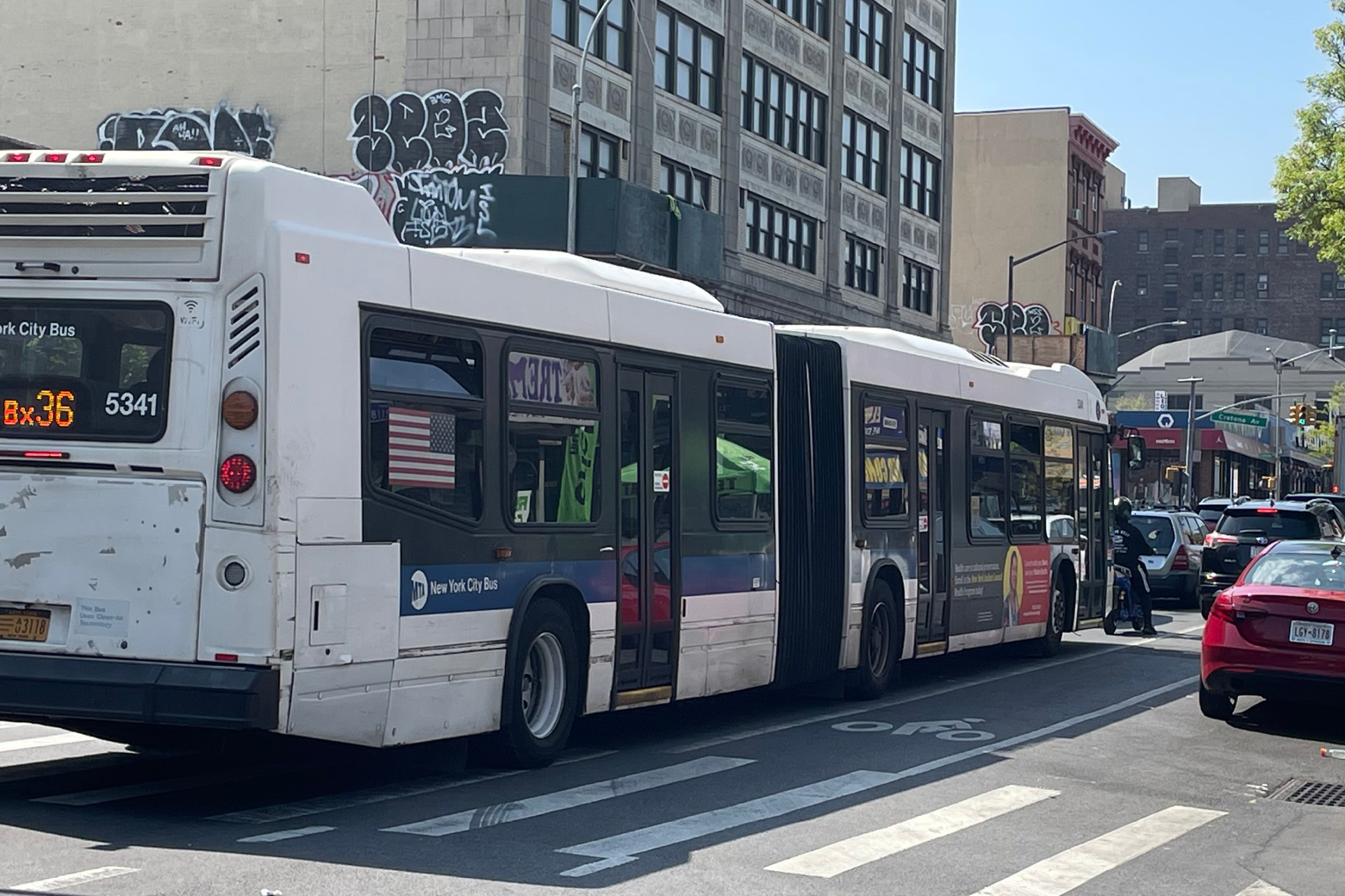
City Considers Fixes for Another Ridiculously Slow Cross-Bronx Bus
Potential bus improvements are on the table for the Bronx's Tremont Avenue, but the Adams administration's failures on nearby Fordham Road loom large.
DOT Unveils First Step for Park Row Redesign
The city hopes to make Park Row more appealing to residents and visitors. But the real work is years off.
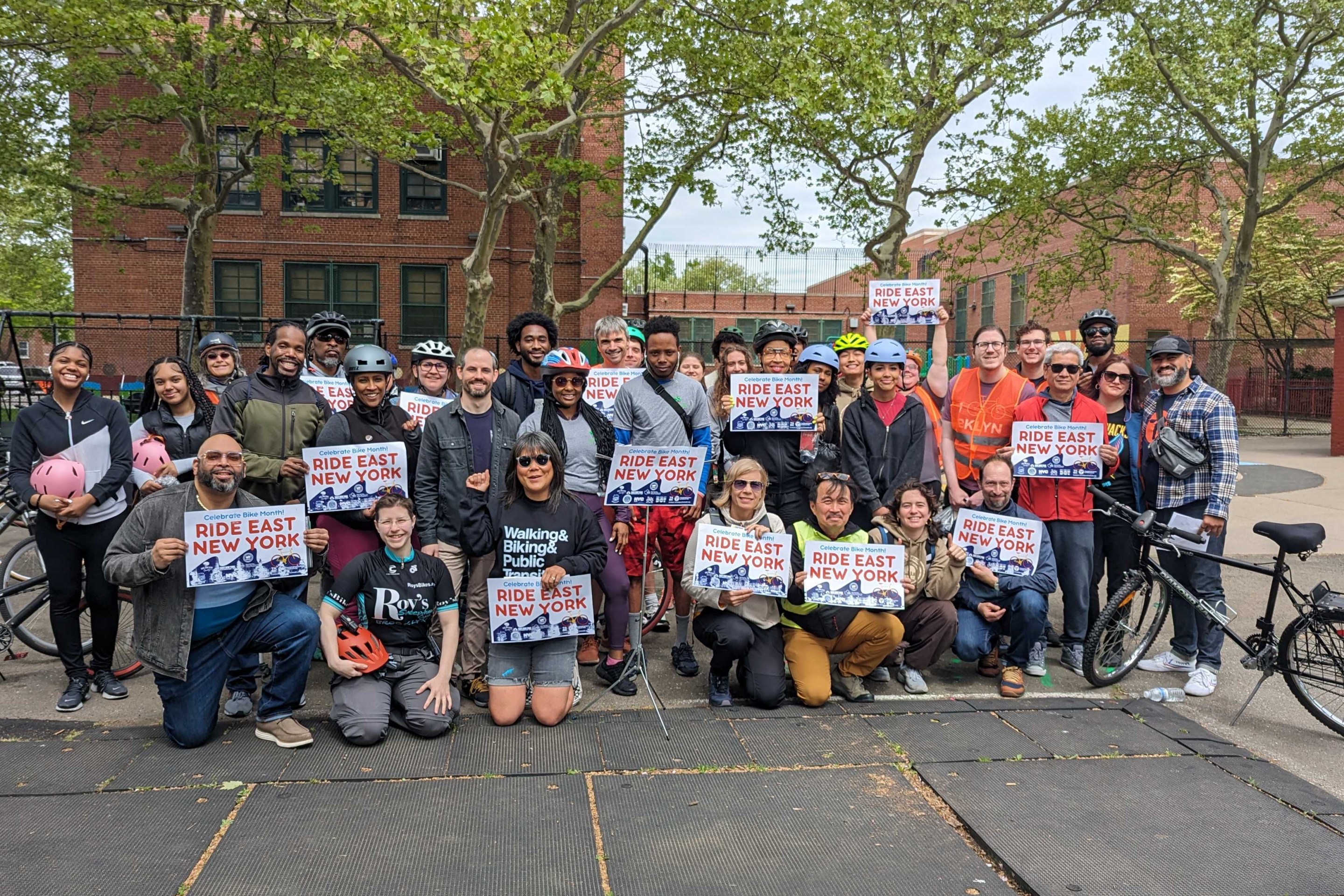
Monday’s Headlines: East New York’s New Bikes Lanes Reduced Crashes Edition
Initial results show East New York's protected bike lanes made Cozine and Wortman avenues safer. Plus more news.
Stockholm Leader’s Message to NYC: ‘Congestion Pricing Just Works’
"In Stockholm, people really thought that congestion pricing would be the end of the world, the city will come to a standstill, no one would be able to get to work anymore and all the theaters and shops would just go bankrupt. None of that happened."

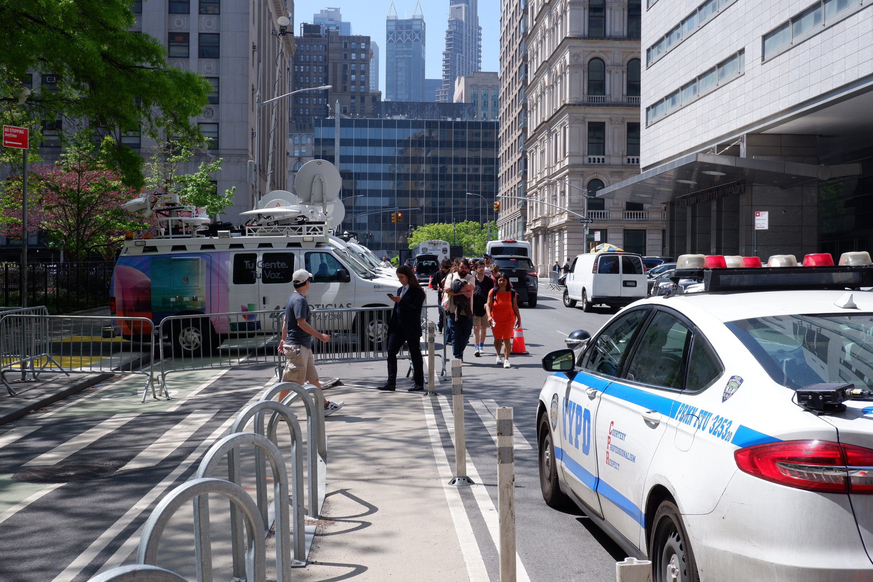
Friday’s Headlines: Trump Trial Trumps Safety Edition
Is anyone going to bother to fix the dangerous mess on the streets and plazas around the Trump trial? Plus more news.