DOT Plan: No More Fighting Over Scraps at South End of Brooklyn Bridge Park

Last week we covered DOT's proposed safety improvements for the north side of Brooklyn Bridge Park, where sidewalk extensions, bike lanes, and planted medians will all be used to help pedestrians and cyclists safely reach the waterfront. DOT is also turning its attention to improving access to the southern entrance to the park, presenting a plan to Community Board 6 tomorrow evening [PDF]. The proposal reclaims some significant tracts of asphalt, giving pedestrians and cyclists more room on a critical segment of the evolving Brooklyn Waterfront Greenway.
The southern access point to Brooklyn Bridge Park, where Atlantic Avenue meets Pier 6, is if anything less hospitable than the northern one. Atlantic Avenue is a notorious speedway -- on a stretch further east, cars were recently clocked at an average of 38 miles per hour -- and pedestrians who use it to reach the park must cross BQE ramps. Atlantic comes to an end at the park in the form of a 90-foot-wide asphalt rectangle, where pedestrians and cyclists approaching on the south side squeeze onto a sidewalk only four feet wide.
The most prominent item in DOT's menu of improvements for park access will re-allocate a chunk of that space to pedestrians and cyclists, carving out a plaza and two-way bike lane from all the extraneous pavement. On the sidewalk side of the bike lane, a ten-foot buffer will ensure that truck drivers leaving the adjacent Port Authority facility can see cyclists.
The proposal extends the two-way bike lane treatment south onto Columbia Street, clearly separating cycling space from walking space -- no more fighting over sidewalk scraps. The plan calls for separating the bikeway from traffic with Jersey barriers. The room for this expansion of bike-ped space comes from removing a southbound traffic lane and narrowing the others, which should have a traffic-calming effect. A new pedestrian island will also make it easier to cross Atlantic at Columbia.
The DOT plan also includes a signal retiming and possible red light enforcement camera at the northbound BQE on-ramp on Atlantic.
DOT will present the plan to the CB6 transportation committee tomorrow at Long Island College Hospital at 6:30 p.m.
Stay in touch
Sign up for our free newsletter
More from Streetsblog New York City
EXCLUSIVE: OMNY Debuts on Fair Fares After Delays
The long-awaited Fair Fares expansion will launch as a three-month pilot for a few dozen riders.
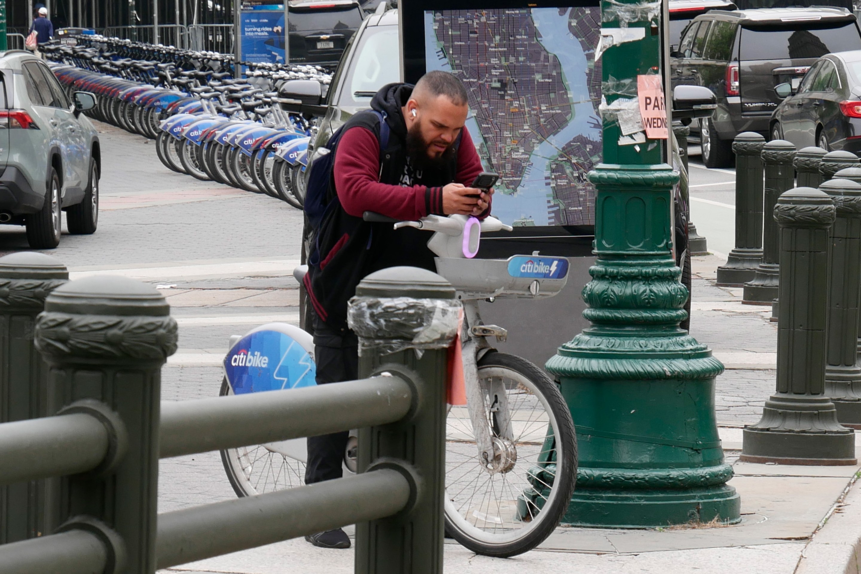
Good Luck Docking Your Citi Bike In Lower Manhattan
Many frustrated commuters to Lower Manhattan opted to simply abandon their Citi Bikes undocked due to the lack of open spots in the area.
Wednesday’s Headlines: ‘ACE’ in the Hole Edition
The MTA approved a $141-million contract to put hundreds of new automated traffic enforcement cameras on buses. Plus more news.
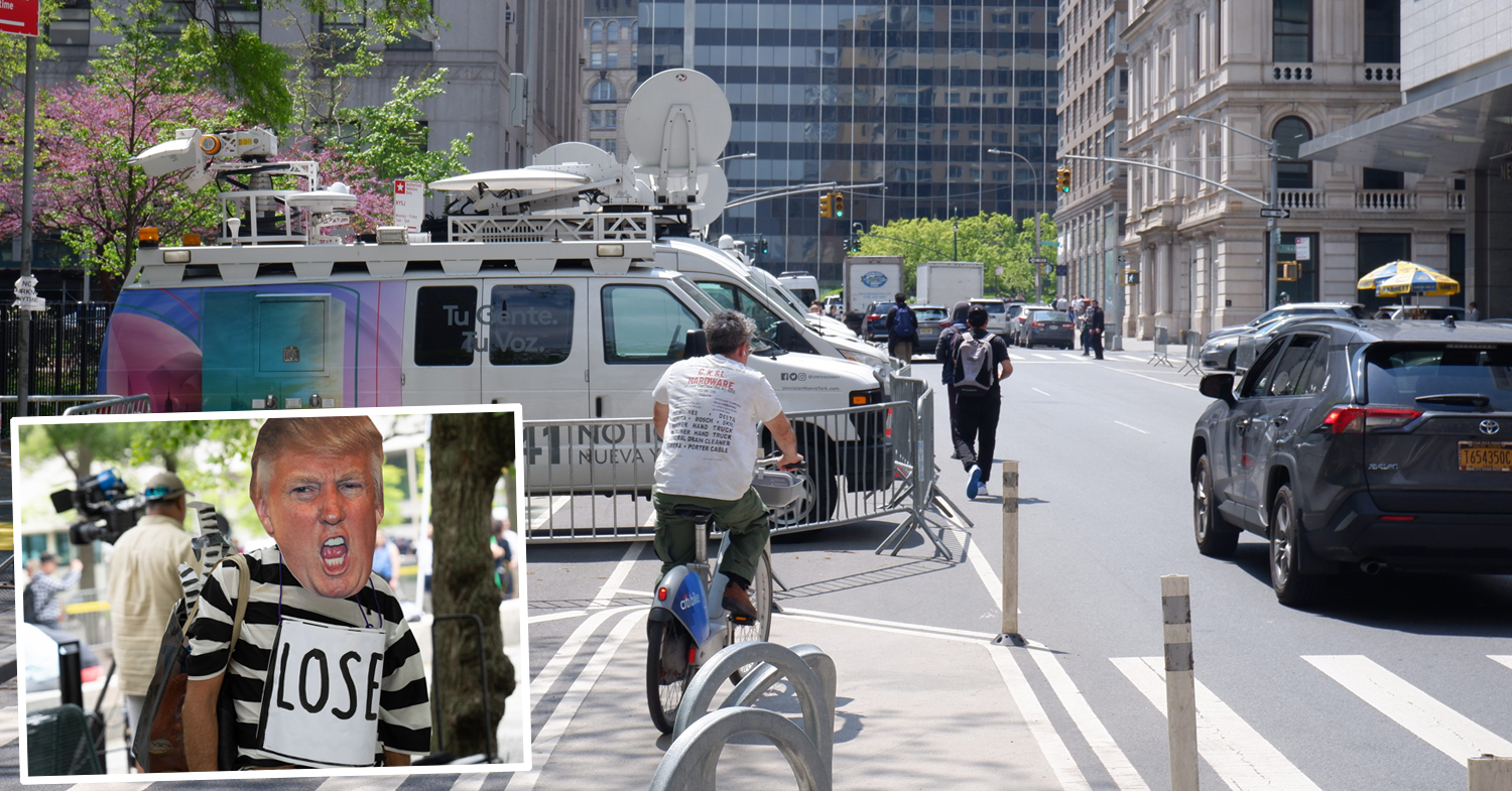
Trump Trial Street Closures Push Pedestrians, Cyclists into Busy Traffic
News vans have dangerously blocked the sidewalk and bike lane on Lafayette Street daily since Donald Trump's trial began nearby two weeks ago.
Eyes On The Street: Coastal Resiliency Causes Mess For Pedestrians and Cyclists
Unfortunately for cyclists and pedestrians, this situation won't be fixed until "at least 2026.”