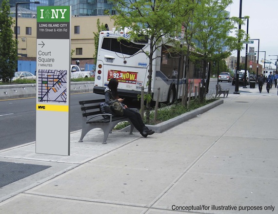
Improved sidewalk signage and maps for pedestrians will be the latest addition to the streetscape by the Department of Transportation, which just released a request for proposals for a new wayfinding system in four neighborhoods. In Long Island City, Prospect Heights and Crown Heights, Chinatown, and Midtown, DOT hopes the new information will encourage more people to walk and help them get where they're going faster.
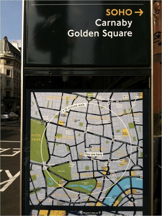
In a DOT survey conducted in preparation for the proposal, nine percent of New Yorkers and 27 percent of tourists said they had been lost in the past week. A good wayfinding system would alleviate confusion and make walking more attractive. After London implemented a similar wayfinding system in the Bond Street area called "Legible London," pedestrian journeys in the neighborhood were an average of 16 percent faster. (For a look at the London sidewalk maps, check below the jump.)
Moreover, the fear of getting lost probably keeps some people from walking in the first place. Said 34th Street Partnership President Dan Biederman, "A standardized citywide pedestrian sign system would highlight our neighborhood’s offerings, and increase the number of people who walk instead of take taxis from our transit terminals, such as Penn Station." With additional information, tourists in particular could confidently save a cab fare by walking to certain nearby destinations.
According to the Wall Street Journal, DOT is willing to spend up to $9.5 million on the project over time, but this first phase will only cost $1.5 million, with 80 percent of that covered by the federal government, and local business improvement districts contributing as well.


