City Shows Off Plan to Reclaim Astor Place for Pedestrians [Updated]
Plans to transform another asphalt tangle into a great public space are moving forward at Astor Place, and Curbed has the details. With significant street space being reclaimed for pedestrians, the plan should serve as a new gathering place in the East Village and make the neighborhood safer for walking.
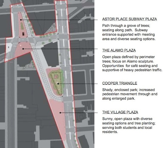
Here are a few of the highlights from the presentation made by the Department of Design and Construction to Community Boards 2 and 3 last night:
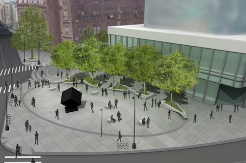
- The block of Astor Place south of the cube will be completely replaced by a new plaza, integrating the island where the sculpture sits with the pedestrian environment.
- The plaza around the subway entrance at Astor Place will be expanded considerably, as will the sidewalks around that intersection.
- 8,000 new square feet of pedestrian space will be built at the southern edge of Cooper Square, roughly between E. 5th and 6th Streets.
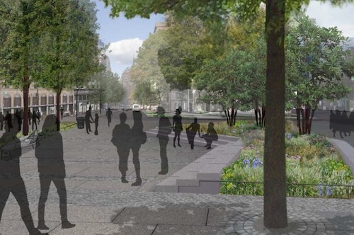
As a capital project, the reconstruction will include more heavy-duty elements than the pedestrian reclamations built out on Broadway so far. Think concrete, granite, street trees, benches, bike racks, and a new green stormwater management system.
We're still waiting for additional information about the plan from DDC and the local community board, like when exactly this plan, which has been in the works for several years, will become a reality. In the meantime, though, be sure to check out Curbed for the most comprehensive look at the new design so far, including 24 images. Here are two more images from last night presentation:
UPDATE: A DDC spokesperson informs us that the project will be put out to bid this summer and that construction should begin in spring 2012.
Stay in touch
Sign up for our free newsletter
More from Streetsblog New York City
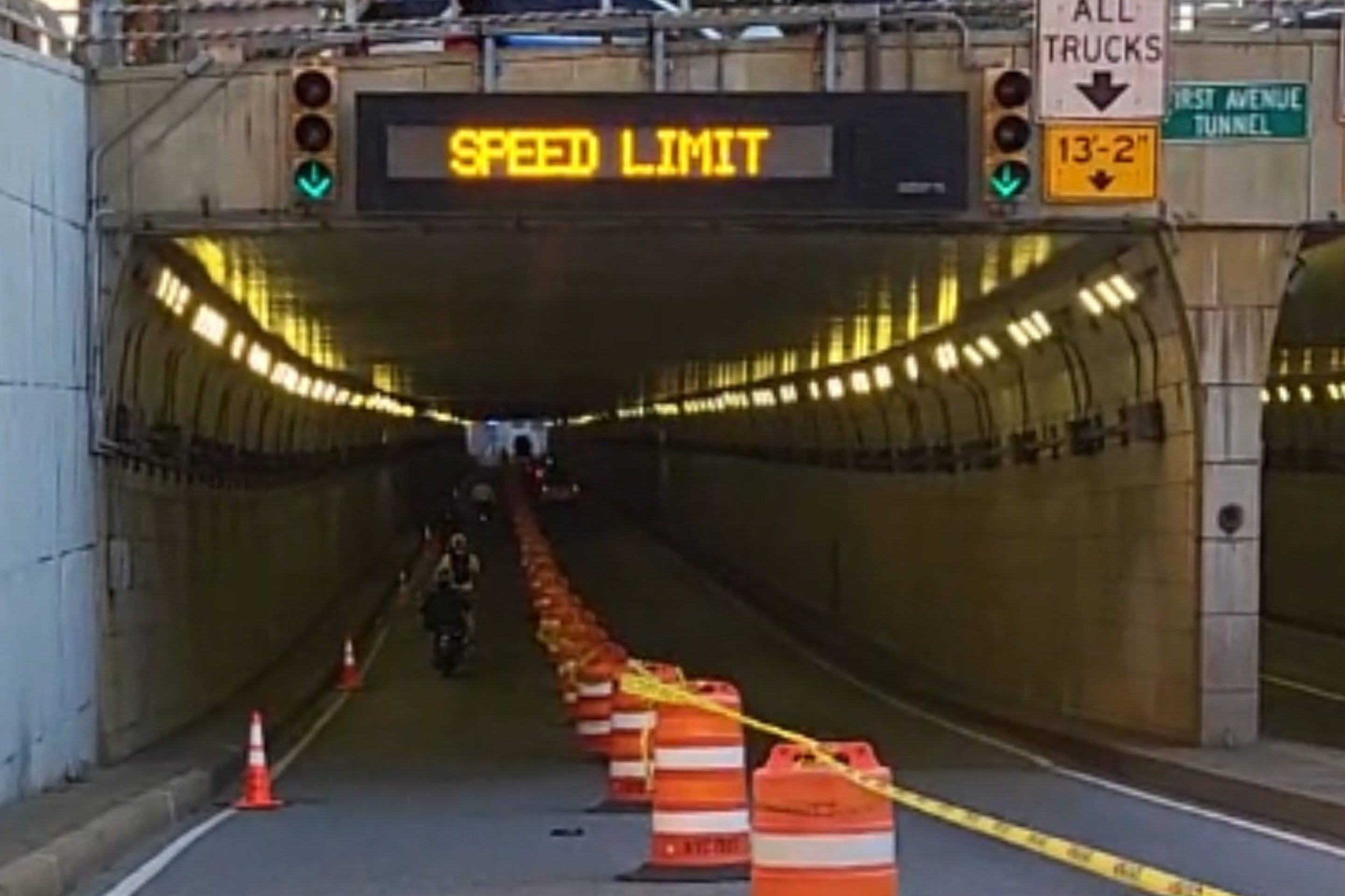
DOT Aims to Build First Ave. Tunnel Bike Lane Before September’s UN General Assembly
DOT hopes to have the concrete-protect tunnel bike lane installed this summer, but its exact plans are still in development.
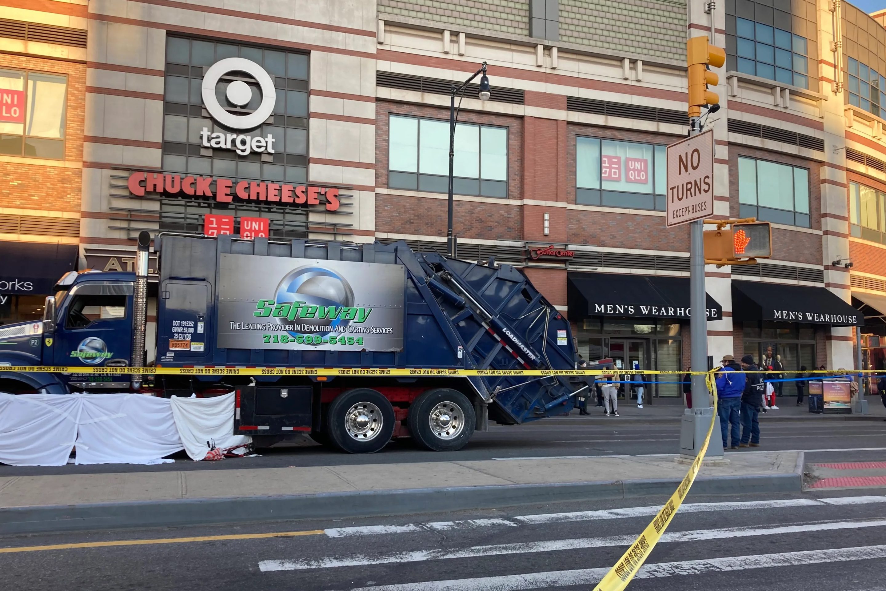
Waste Reforms Could Require Data on Crashes, Dangerous Driving
The proposal affects at least one trucking company with a deadly driving record.
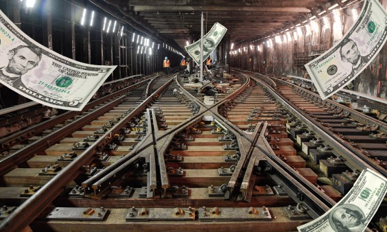
When it Comes to Federal Infrastructure Grants, Size Does Matter
Cities and municipalities with larger budgets and staff are more likely to win competitive federal infrastructure grants, the Urban Institute has found.
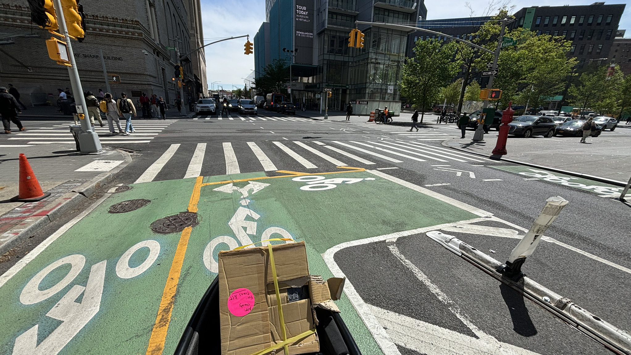
Tuesday’s Headlines: Real Estate Greed Against Good Bike Lane Design Edition
A real estate developer's opposition to the Ashland Place protected bike lane yields some baffling bike lane markings. Plus more news.
City Considers Fixes for Another Ridiculously Slow Cross-Bronx Bus
Potential bus improvements are on the table for the Bronx's Tremont Avenue, but the Adams administration's failures on nearby Fordham Road loom large.