Seeking Safer Routes to Walk and Bike Across the Harlem River

Have you ever tried biking or walking across the Harlem River? Despite a plethora of bridges, walkers and bikers often face crossings and approaches that are confusing or downright hostile. A new campaign from Transportation Alternatives and local residents aims to focus DOT's attention on making it safer for New Yorkers to get between the two boroughs under their own power.
There are 11 bridges connecting Manhattan and the Bronx, including the High Bridge. Nine currently have paths for pedestrians, though most are narrow, and cyclists are allowed to ride on only two of them. New Yorkers walking or biking on either side of the bridges have an even tougher time, penned in by the car-clogged Harlem River Drive and the Major Deegan Expressway. Nearby bike lanes are a hodgepodge with few clear, safe routes leading to the bridges.
On the East River, the city has built out bike routes on bridges and nearby streets, and bike ridership is climbing year after year. Organizers of the new campaign say it's time for the Harlem River bridges to get the same attention to safety, and on Saturday they gathered for the first of three summer "street scans" to identify places where streets could be safer and easier to navigate.
"I've been saying for years that there should be bike lanes in Harlem, and there were none past 110th Street for many years," said Sherri Culpepper, vice president of the 32nd Precinct community council.
It's not just about biking for Culpepper, who also walks and drives in her neighborhood. She learned of Saturday's event from the Manhattan Community Board 10 Vision Zero task force. "I was happy to see that there is an initiative to make the streets safer. Because we have kids that walk to the park by themselves; they go to the community rec centers," she said. "Drivers are just driving too fast in the community."
A few weeks ago, Culpepper witnessed two crashes where Lenox Avenue meets the 145th Street Bridge. On the bus, she saw the aftermath of a crash involving a young boy who was taken to the hospital. "He did what he was supposed to do as a pedestrian. He stopped, he had the light, he saw the car coming," she said. But there was a miscommunication with the driver, who struck him in the street. Moments later, a young girl was hit just feet away in a separate crash.

The community council is devoting its attention to traffic safety, and officers often ticket drivers for running red lights as they come off the bridge. "Oftentimes, motorists aren't yielding to pedestrians as they should," said Abena Smith, president of the 32nd Precinct community council. "Before Vision Zero even came out to the public, there were people at the precinct council meetings saying they were particularly concerned about that street."
Smith lives just two blocks from the 145th Street Bridge and says Harlemites often walk across it to go shopping at the Bronx Terminal Market. "Of course they're walking, because it's the easiest way and the least expensive way for them to bring back something," she said. She doesn't see too many cyclists on the bridge, but when she does, they are on the sidewalk, where there are "dismount" signs, instead of in the busy roadway. "Maybe for some reason they don't feel safe enough to do that. They're always on the pathway," Smith said, adding that the bridge should have a dedicated bike path.
The Bronx side, at 149th Street next to the Major Deegan, is just as difficult for pedestrians and cyclists. "You have cars coming from different angles, and it's this big wide open space," said Greg Thompson, a Bronx resident whose sister Renee was killed by a turning truck driver on the Upper East Side last year. "It's a confusing spot. You really gotta look."
On Saturday, participants split into two groups, with one going by bike and the other on foot. At the end of the afternoon, both converged where the Madison Avenue Bridge meets 138th Street and the Major Deegan Expressway, and watched as pedestrians and cyclists tried to safely navigate around a crush of car traffic.
"We have a lot of trucks, commercial trucks," Smith said. "That tends to cause a lot of congestion and makes it difficult to cross the street safely."
"It discourages people from moving back and forth in a way that's easy, convenient and safe," TA organizer Tom DeVito told the group. Saturday's event included representatives from the precinct community council, Community Board 10, WE ACT for Environmental Justice, and the office of City Council Speaker Melissa Mark-Viverito. "You're all experts in a way that, you know, not necessarily someone from DOT can be," DeVito said. "You know the streets better than anybody."
Over the course of the afternoon, the groups suggested everything from better lighting and more curb extensions to a crackdown on illegally-parked city vehicles and more bike lanes. DeVito said TA plans to take the suggestions to local elected officials and DOT.
The second "street scan," scheduled for this Sunday at 2 p.m., will focus on the area near High Bridge. Another event is planned for mid-August near the University Heights Bridge.
Stay in touch
Sign up for our free newsletter
More from Streetsblog New York City
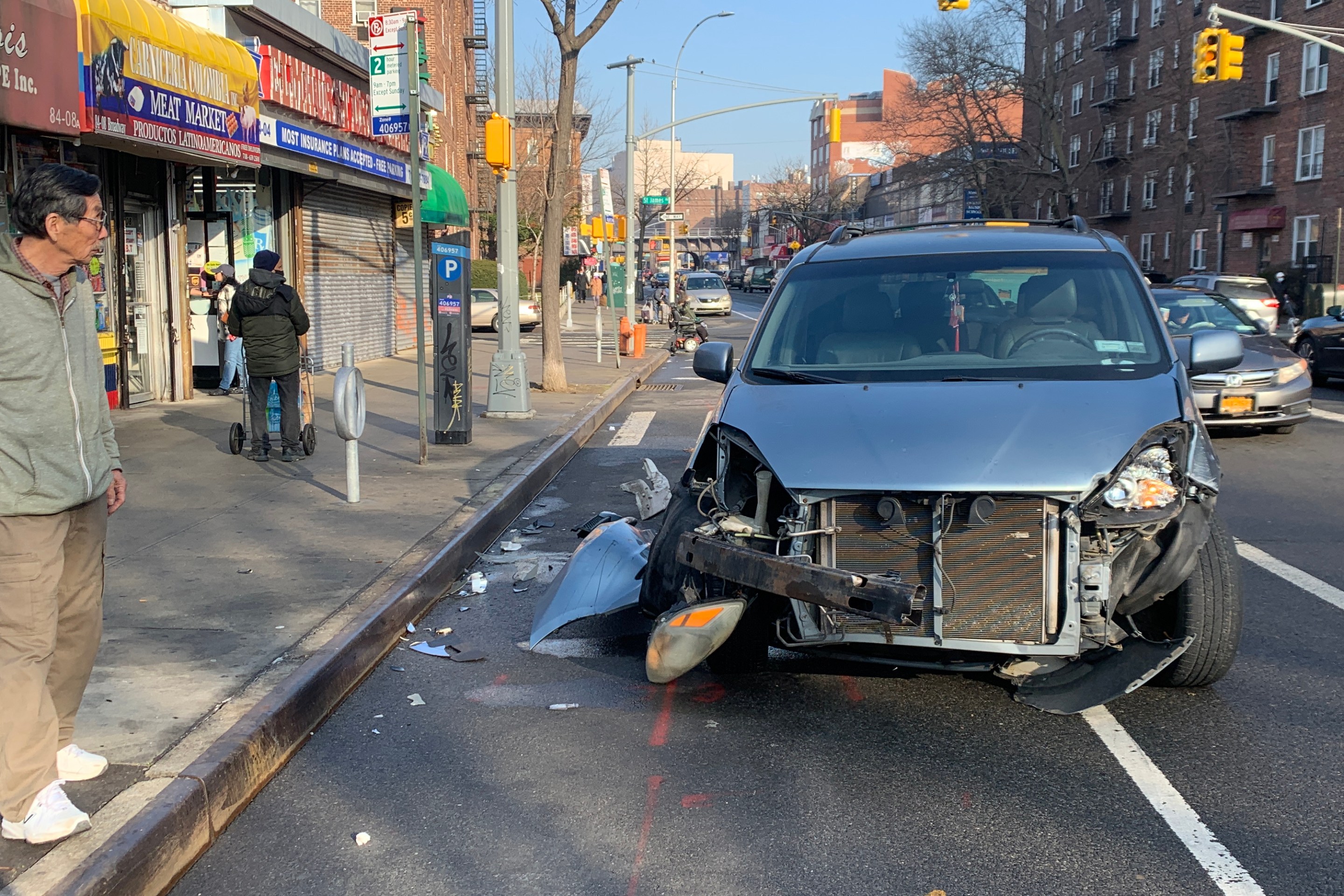
Report: Road Violence Hits Record in First Quarter of 2024
Sixty people died in the first three months of the year, 50 percent more than the first quarter of 2018, which was the safest opening three months of any Vision Zero year.
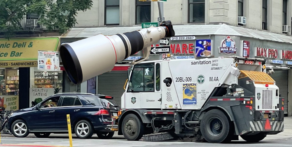
Street Sweepers Could Nab Illegal Parking Under State Bill
Smile for the street-sweeper!
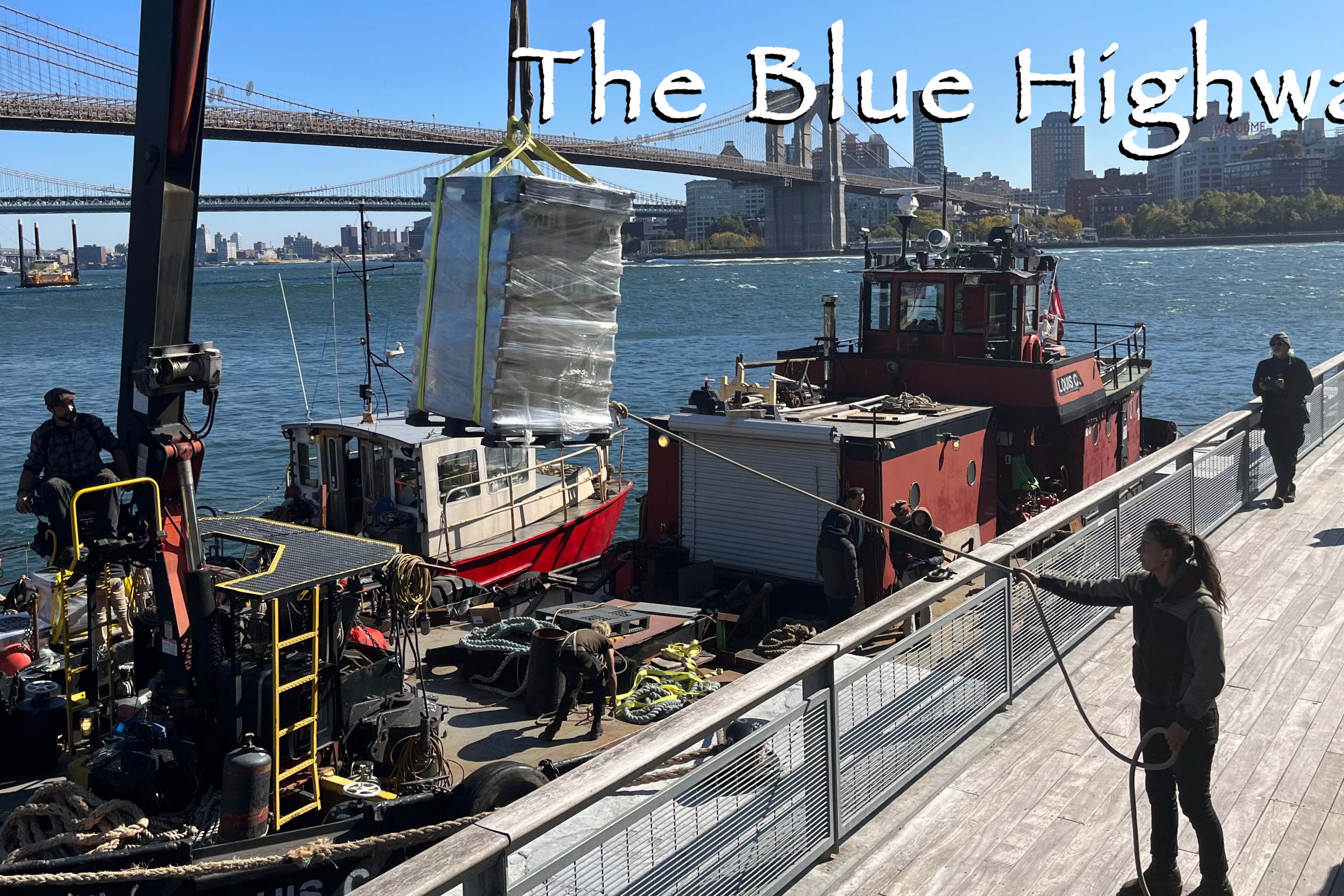
Thursday’s Headlines: The Way of Water Edition
The "Blue Highways" campaign wants the mayor to convert a downtown heliport into a freight delivery hub. Plus more news.
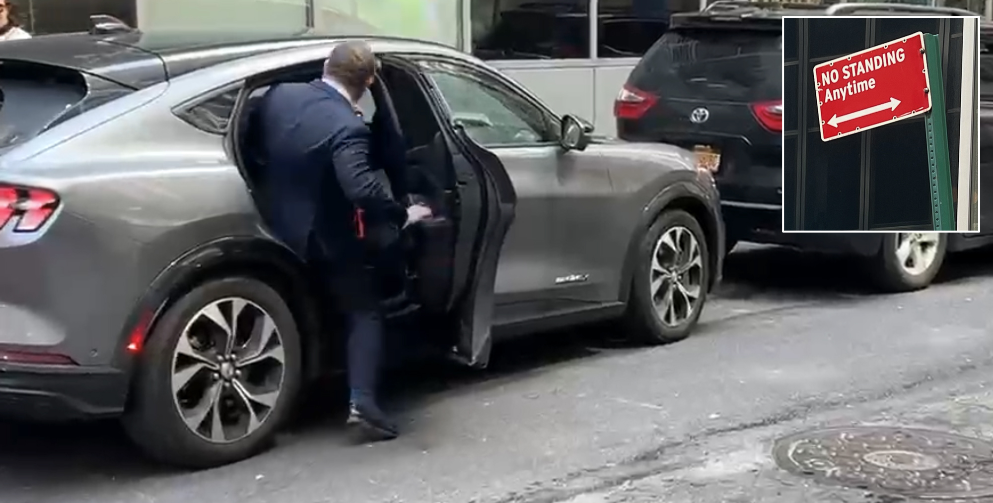
Gotcha-Heimer! Anti-Congestion Pricing Jersey Rep. With a City Speeding Ticket Drove to Manhattan on Wednesday
New Jersey's most vociferous opponent of congestion pricing parked illegally and once got a speeding ticket.