New York finally has real-time bus arrival information and excellent route maps posted at bus stops. Or rather, at least one bus stop has this info, and it looks like the kind of thing that should spread to a lot more bus stops.
NYC DOT policy director Jon Orcutt posted this photo on Twitter over the weekend, when Bus Time went live in Brooklyn and Queens, bringing real-time arrival information to every borough. This display is at the Church Avenue stop for southbound Nostrand Avenue B44 Select Bus Service.
The bus arrival screen is integrated into one of NYC DOT's WalkNYC wayfinding boards, which has also been customized with B44 route maps. The display shows how many stops away the next four arrivals are -- both local and SBS buses. After years of looking jealously at other cities' real-time bus stop displays, NYC seems to be on the verge of catching up.
It's unclear how rapidly the displays will be rolled out. The WalkNYC maps are currently in four neighborhoods. We have a request in with DOT about whether the Bus Time-enabled displays will be coming to more bus stops.
Update: DOT says this is a prototype installed last fall for the launch of B44 SBS, with the arrival info switched on when Bus Time went live this weekend. The prototype is still being tested so there's no timetable yet for a full rollout, but the plan is to eventually bring these displays to all SBS routes, starting with the B44, M34, and M60.
I went over to Church and Nostrand this afternoon and got a few more up-close shots of the display. (Sidenote: The parking situation on this stretch of Nostrand and Rogers is literally a free-for-all. No meters, double-parking everywhere, drivers bypassing the stopped vehicles by violating the bus lane. To make SBS work as well as it should here, there needs to be a price on the curb.)
Take a look:


Stay in touch
Sign up for our free newsletter
More from Streetsblog New York City
Friday’s Headlines: Canal Street Follies Edition
Manhattan Borough President Mark Levine isn't happy. Plus other news.
Daylight Again: Bronx Community Board Backs Parking Ban at Intersections
The Boogie Down is down with daylighting!
Community Board Wants Protected Bike Lane on Empire Blvd.
Brooklyn Community Board 9 wants city to upgrade Empire Boulevard's frequently blocked bike lane, which serves as a gateway to Prospect Park.
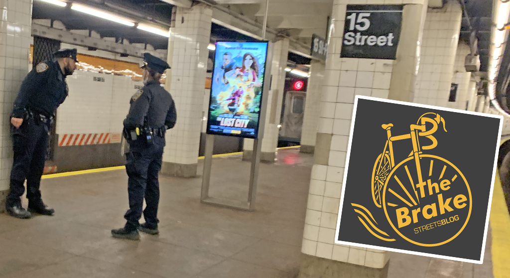
The Brake: Why We Can’t End Violence on Transit With More Police
Are more cops the answer to violence against transit workers, or is it only driving societal tensions that make attacks more frequent?
Report: Road Violence Hits Record in First Quarter of 2024
Sixty people died in the first three months of the year, 50 percent more than the first quarter of 2018, which was the safest opening three months of any Vision Zero year.