Eyes on the Street… All of Them

NYC Blog directs our attention to the map above, which depicts every street in the continental U.S. Map creator Ben Fry (no relation) posts a larger version on his site, and explains it like so:
All of the streets in the lower 48 United States: an image of 26 million individual road segments. No other features (such as outlines or geographic features) have been added to this image, however they emerge as roads avoid mountains, and sparse areas convey low population. The pace of progress is seen in the midwest where suburban areas are punctuated by square blocks of area that are still farm land.
Stay in touch
Sign up for our free newsletter
More from Streetsblog New York City
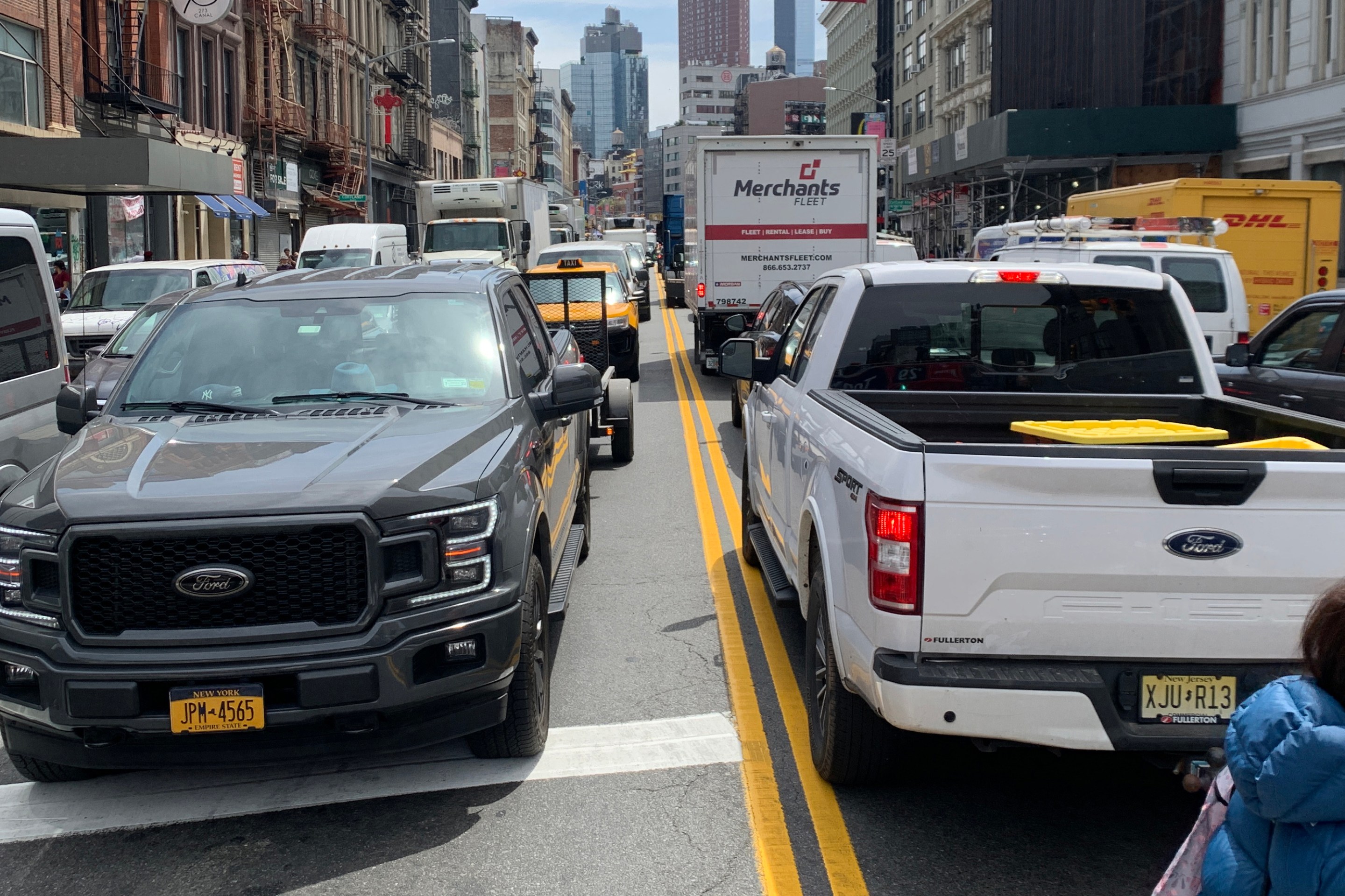
Friday’s Headlines: Canal Street Follies Edition
Manhattan Borough President Mark Levine isn't happy. Plus other news.
Daylight Again: Bronx Community Board Backs Parking Ban at Intersections
The Boogie Down is down with daylighting!
Community Board Wants Protected Bike Lane on Empire Blvd.
Brooklyn Community Board 9 wants city to upgrade Empire Boulevard's frequently blocked bike lane, which serves as a gateway to Prospect Park.
The Brake: Why We Can’t End Violence on Transit With More Police
Are more cops the answer to violence against transit workers, or is it only driving societal tensions that make attacks more frequent?

Report: Road Violence Hits Record in First Quarter of 2024
Sixty people died in the first three months of the year, 50 percent more than the first quarter of 2018, which was the safest opening three months of any Vision Zero year.