DOT to Neighborhood: Your School’s in the Way of Our Highway

There is a palpable schizophrenia in the Bloomberg Administration these days when it comes to Livable Streets issues. On the one hand, the Administration is developing some 200 miles of new bike lanes, initiating a long-term sustainability project and, for the first time, talking openly about reducing automobile use. On the other hand, very little seems to have changed in the day-to-day operations of the government agencies responsible for our streets and public spaces. They continue to plan for cars and traffic at the expense of people and places.
The latest example can be found at the intersection of West and Warren Streets in Lower Manhattan. This morning about forty community members gathered to protest a plan to install two new left-turn lanes on southbound West Street at Warren Street. As part of the scheme, the pedestrian "walk" time across the westside highway, now 46 seconds, is likely to be shortened to about 30 seconds. At a brisk gait of 3 mph, walkers will just make it across what will now be ten lanes of traffic. Most mortals walking at customary slower speeds will have to pause at the highway median, which is slated to shrink by more than half.
 With two public schools, PS 89 and IS 89, heavily-used ball fields and the Hudson River Park and Greenway on the far side of West Street, the pedestrian crossing is regularly used by thousands of children, parents and others. An analysis prepared by the State in 2005 found that installing the left turn lanes would increase the accident rate at the intersection by 71 percent.
"The pedestrian crossing on the north side of Warren Street is the safest crossing of West Street in our neighborhood," Bob Townley, director of Manhattan Youth and a prominent member of Community Board 1, says. "We can't figure out the reasoning behind adding the turning lanes. That corner is rarely backed up." Other community members speculate that the turning lanes are being added to accomodate an increase in heavy truck traffic expected once construction of the Freedom Tower begins.
West Street, technically Route 9A, is a state highway but the plan is proceeding with full support from City DOT. City and State officials are not saying why the two new lanes are necessary and what the thinking is behind them. At this morning's rally Mike Nadel, an 8th grade parent who is helping to organize the community against the plan, said that when he raised safety concerns to DOT Commissioner Iris Weinshall at a meeting last May, she replied, "Whose idea was it to put a school on West Street?"
Photo: Carl Glassman, The Tribeca Trib
Stay in touch
Sign up for our free newsletter
More from Streetsblog New York City
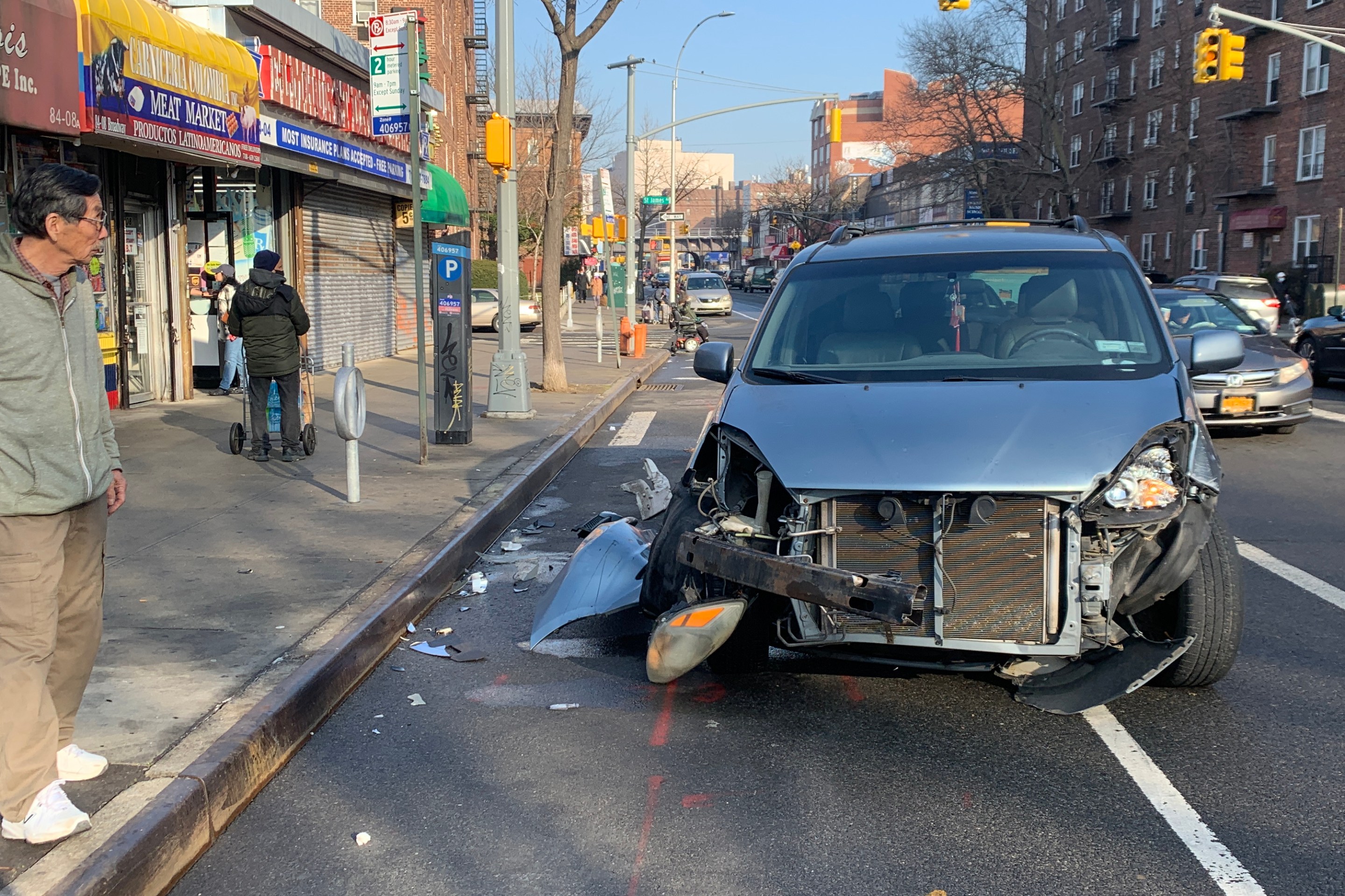
Friday’s Headlines: Canal Street Follies Edition
Manhattan Borough President Mark Levine isn't happy. Plus otherness.
Daylight Again: Bronx Community Board Backs Parking Ban at Intersections
The Boogie Down is down with daylighting!
Community Board Wants Protected Bike Lane on Empire Blvd.
Brooklyn Community Board 9 wants city to upgrade Empire Boulevard's frequently blocked bike lane, which serves as a gateway to Prospect Park.
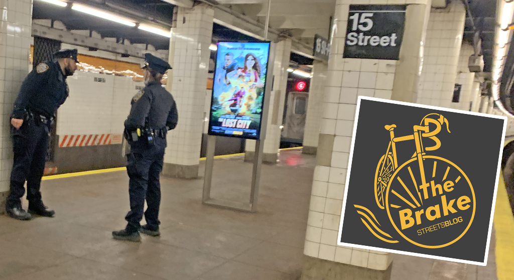
The Brake: Why We Can’t End Violence on Transit With More Police
Are more cops the answer to violence against transit workers, or is it only driving societal tensions that make attacks more frequent?
Report: Road Violence Hits Record in First Quarter of 2024
Sixty people died in the first three months of the year, 50 percent more than the first quarter of 2018, which was the safest opening three months of any Vision Zero year.