NYPD Crash Data Now Easier to Use and Updated Daily

The city went live with a major upgrade to NYPD's crash data today. Information about traffic crashes was previously released via difficult-to-use monthly updates posted on the police department's website. Now it's available through a standardized feed updated daily on the city's open data portal, allowing the public to sort crashes by time of day, street, zip code, and borough, as well as by the number of injuries and fatalities.
Later today EDC will be launching the BigApps competition, and Mayor de Blasio has asked NYC's tech community to take on the issue of street safety. With this NYPD data upgrade, developers will have more flexibility to build useful tools for the public. A community board, for example, could receive an alert within 24 hours whenever there is a traffic injury or fatality within its borders.
"Up until now, New Yorkers haven't had the opportunity to easily assess the relative safety of their street, the route their child walks to school, or their neighborhood at large," said Transportation Alternatives Executive Director Paul Steely White in a city press release. "The Mayor's announcement represents an important step forward to present crash data in a timely fashion that New Yorkers can view, understand and use, so that we can all make our city safer."
"On first pass, this looks fantastic," said John Krauss, who developed a map of crashes using the old data set. "This is amazing, and more than I was expecting."
By opening the source data to the public, the city has essentially leapfrogged a City Council bill that would require NYPD to map its crash data. But despite the improvements, there are some remaining questions. The updated data goes back to July 2012, but NYPD has been publishing crash information since August 2011. The updated data adds geographic coordinates, making it easier to map the information, but they are tied to the nearest intersection, not the actual location of the crash. (NYPD has said it will work with the DMV to update crash forms to allow for more precise location data.)
Many in the civic tech community are also hoping for more than just improved crash data. While NYPD already reports how many tickets it issues for moving violations, there are significant limitations to that information.
"The summons data is just on the precinct level, which is not that great," said Akil Harris, a web developer who used what he described as "just a PDF full of numbers" to create interactive maps of summonses issued by precinct. "I would like to see the data that's there be more granular...[to show] exactly where the stop was made."

This type of information could be useful to see if NYPD's traffic enforcement efforts are happening in the same places that have the most crashes, Harris said. (The department said it will step up enforcement along arterial slow zones, but there is no way for the public to track NYPD's progress on this promise.)
Precincts often cite this type of geographically detailed information on moving violations to report their enforcement efforts at public meetings. Today's announcement didn't include any news about opening up this data to the public.
Stay in touch
Sign up for our free newsletter
More from Streetsblog New York City
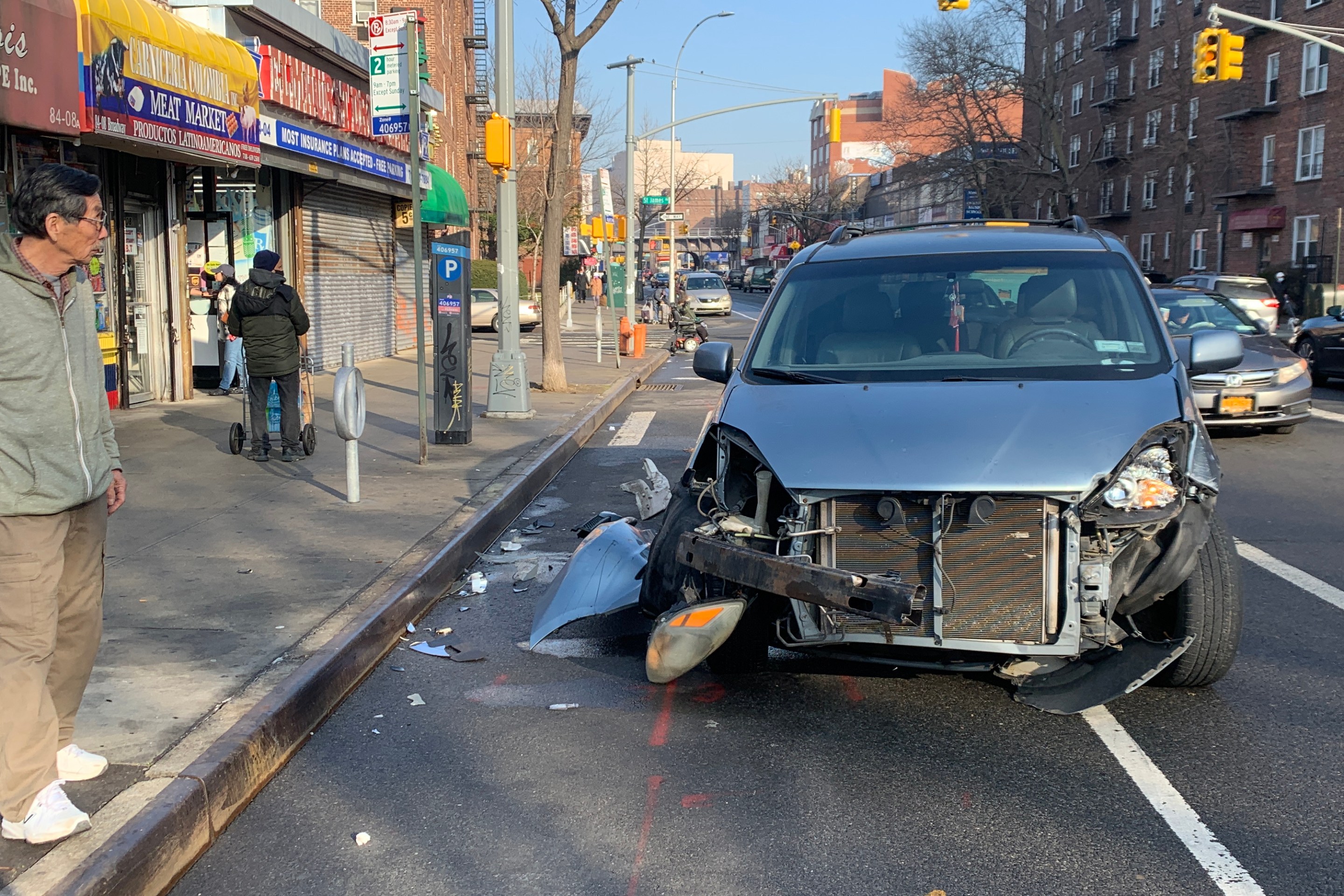
Report: Road Violence Hits Record in First Quarter of 2024
Sixty people died in the first three months of the year, 50 percent more than the first quarter of 2018, which was the safest opening three months of any Vision Zero year.
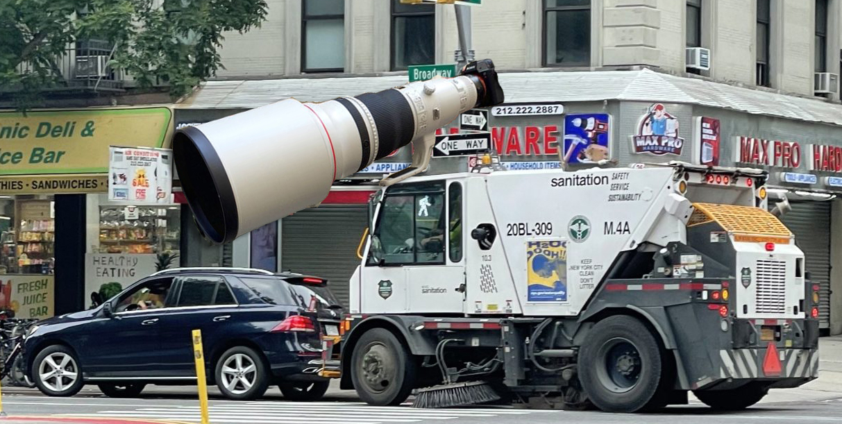
Street Sweepers Could Nab Illegal Parking Under State Bill
Smile for the street-sweeper!
Thursday’s Headlines: The Way of Water Edition
The "Blue Highways" campaign wants the mayor to convert a downtown heliport into a freight delivery hub. Plus more news.


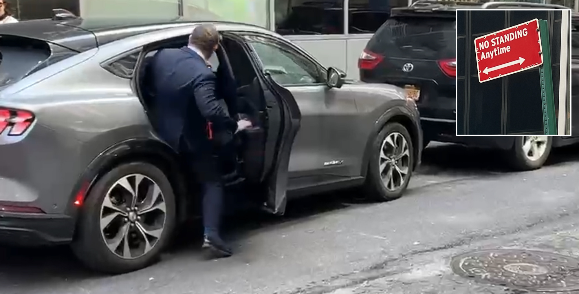
Gotcha-Heimer! Anti-Congestion Pricing Jersey Rep. With a City Speeding Ticket Drove to Manhattan on Wednesday
New Jersey's most vociferous opponent of congestion pricing parked illegally and once got a speeding ticket.