New York finally has real-time bus arrival information and excellent route maps posted at bus stops. Or rather, at least one bus stop has this info, and it looks like the kind of thing that should spread to a lot more bus stops.
NYC DOT policy director Jon Orcutt posted this photo on Twitter over the weekend, when Bus Time went live in Brooklyn and Queens, bringing real-time arrival information to every borough. This display is at the Church Avenue stop for southbound Nostrand Avenue B44 Select Bus Service.
The bus arrival screen is integrated into one of NYC DOT's WalkNYC wayfinding boards, which has also been customized with B44 route maps. The display shows how many stops away the next four arrivals are -- both local and SBS buses. After years of looking jealously at other cities' real-time bus stop displays, NYC seems to be on the verge of catching up.
It's unclear how rapidly the displays will be rolled out. The WalkNYC maps are currently in four neighborhoods. We have a request in with DOT about whether the Bus Time-enabled displays will be coming to more bus stops.
Update: DOT says this is a prototype installed last fall for the launch of B44 SBS, with the arrival info switched on when Bus Time went live this weekend. The prototype is still being tested so there's no timetable yet for a full rollout, but the plan is to eventually bring these displays to all SBS routes, starting with the B44, M34, and M60.
I went over to Church and Nostrand this afternoon and got a few more up-close shots of the display. (Sidenote: The parking situation on this stretch of Nostrand and Rogers is literally a free-for-all. No meters, double-parking everywhere, drivers bypassing the stopped vehicles by violating the bus lane. To make SBS work as well as it should here, there needs to be a price on the curb.)
Take a look:


Stay in touch
Sign up for our free newsletter
More from Streetsblog New York City
Justice Dept., Citing Streetsblog Reporting, Threatens to Sue NYPD Over Cops’ Sidewalk Parking
The city is now facing a major civil rights suit from the Biden Administration if it doesn't eliminate illegal parking by cops and other city workers.
What to Say When Someone Claims ‘No One Bikes or Walks in Bad Weather’
Yes, sustainable modes are more vulnerable to bad weather. But that's why we should invest more in them — not less.

NYC Transit’s New Operations Planning Chief Wants To Fight ‘Ghost Buses’
One-time transit advocate and current MTA Paratransit VP Chris Pangilinan will oversee bus and subway operations for the whole city.
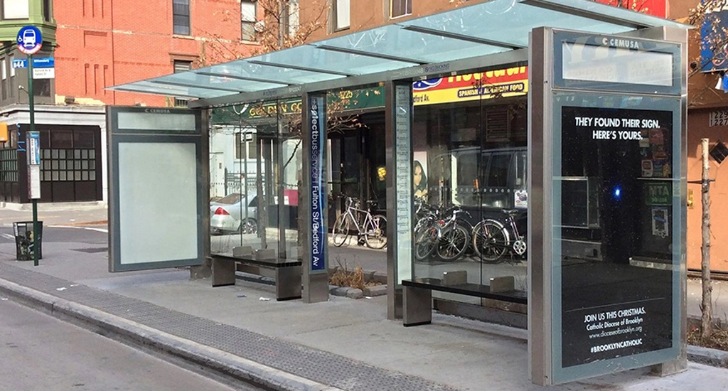
Friday’s Headlines: Gimme Bus Shelter Edition
The days of the Landmarks Preservation Commission reviewing every proposed bus shelter in landmarked districts may be no more. Plus more news.
Deal Reached: Hochul Says ‘Sammy’s Law’ Will Pass
The bill, though imperfect, has been four years in the making.