Pre-Holiday Crowdsourcing Project: Map NYC’s Busted Crosswalk Displays
View Larger Map
We've got a nice piece of interactive reporting you might want to contribute to on your trip home tonight or while you're making some holiday shopping rounds. Alex Goldmark at Transportation Nation is collecting photos and locations of NYC's crosswalk signals gone haywire -- the ones that show both the "Walk" and "Don't Walk" symbols during the walk phase.
The confusing sight seems to be getting increasingly common on New York streets. WNYC reported earlier this week that staffers with Council Member Gale Brewer's office counted 13 busted pedestrian signals in her district. That was a year ago, and my personal observation is that the mixed-message displays have been cropping up in greater numbers since then. But that's just one person's hunch. To help aggregate data about the extent of the problem, you can upload photos and locations of malfunctioning signals through the WNYC website, or email newstips [at] wnyc [dot] org.

Stay in touch
Sign up for our free newsletter
More from Streetsblog New York City
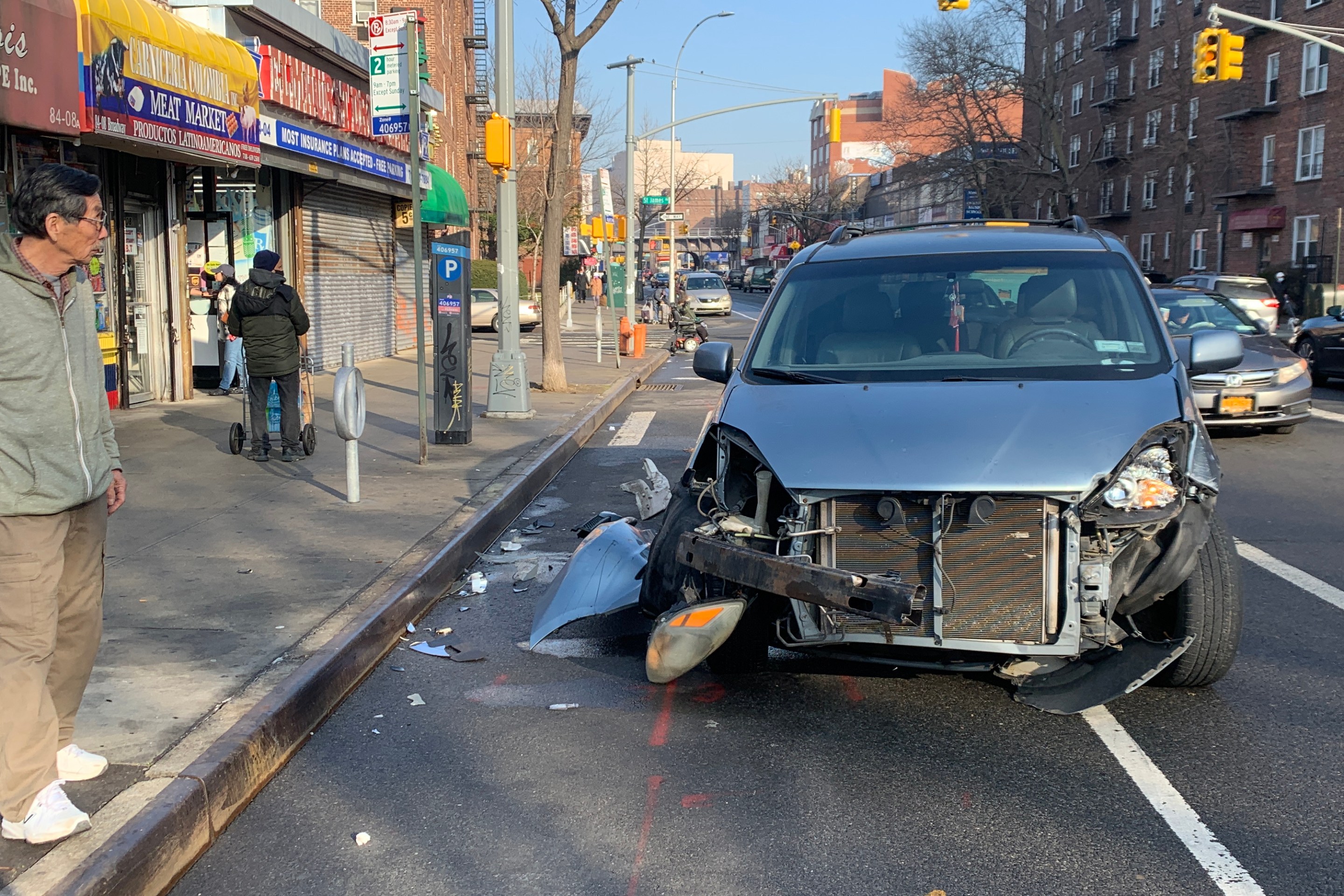
Report: Road Violence Hits Record in First Quarter of 2024
Sixty people died in the first three months of the year, 50 percent more than the first quarter of 2018, which was the safest opening three months of any Vision Zero year.
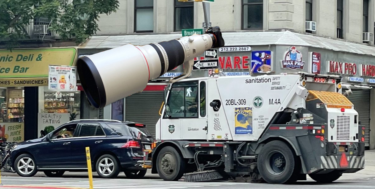
Street Sweepers Could Nab Illegal Parking Under State Bill
Smile for the street-sweeper!
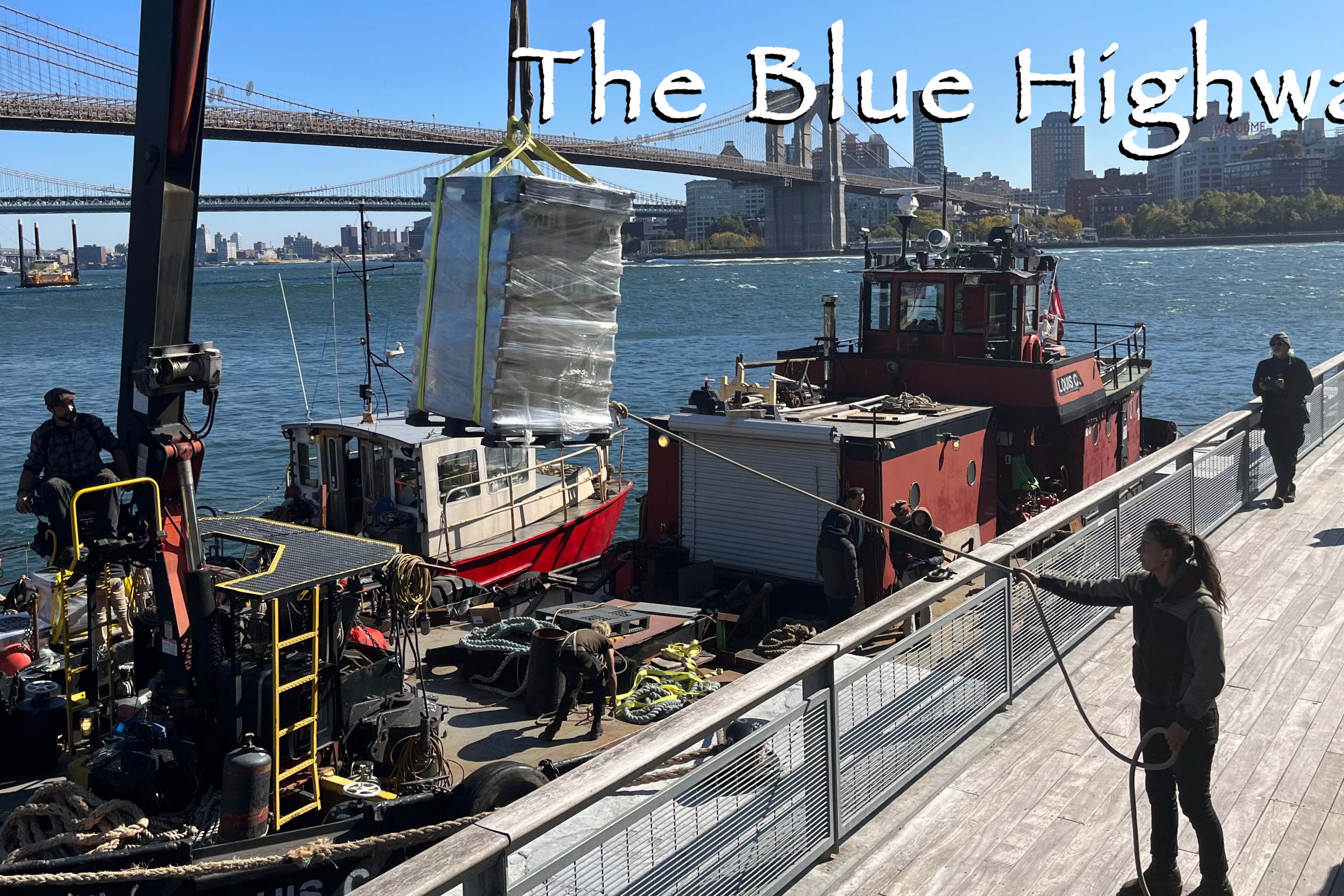
Thursday’s Headlines: The Way of Water Edition
The "Blue Highways" campaign wants the mayor to convert a downtown heliport into a freight delivery hub. Plus more news.
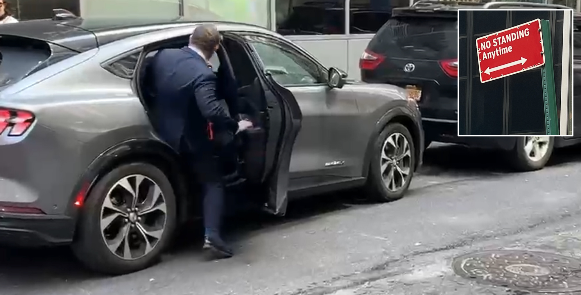
Gotcha-Heimer! Anti-Congestion Pricing Jersey Rep. With a City Speeding Ticket Drove to Manhattan on Wednesday
New Jersey's most vociferous opponent of congestion pricing parked illegally and once got a speeding ticket.