Cool Thing: Subway Map With Entrances

New York City's best subway map just got better.
OnNYTurf's clickable, dragable, searchable Google mashup showing the subway and PATH lines in scale relation to the surface streets now shows -- ready for this? -- the exact locations of all the entrances to the 116 subway stations in Manhattan. (The four-platform, 22-entrance Fulton Street/Broadway-Nassau complex is shown above.)
Speed your ride by waiting at the right end of the platform. Choose your destination station with greater precision. Here's how it works: Pull up the map, then zoom in as far as you can by clicking on the "+" sign at the upper left hand corner of the map and you will arrive at this level of detail.
This map won't help answer questions such as why the West 4th Street station's entrance is actually at West 3rd Street, but it does document that fact visually.
Stay in touch
Sign up for our free newsletter
More from Streetsblog New York City
What to Say When Someone Claims ‘No One Bikes or Walks in Bad Weather’
Yes, sustainable modes are more vulnerable to bad weather. But that's why we should invest more in them — not less.

NYC Transit’s New Operations Chief Wants To Fight ‘Ghost Buses’
One-time transit advocate and current MTA Paratransit VP Chris Pangilinan will oversee bus and subway operations for the whole city.
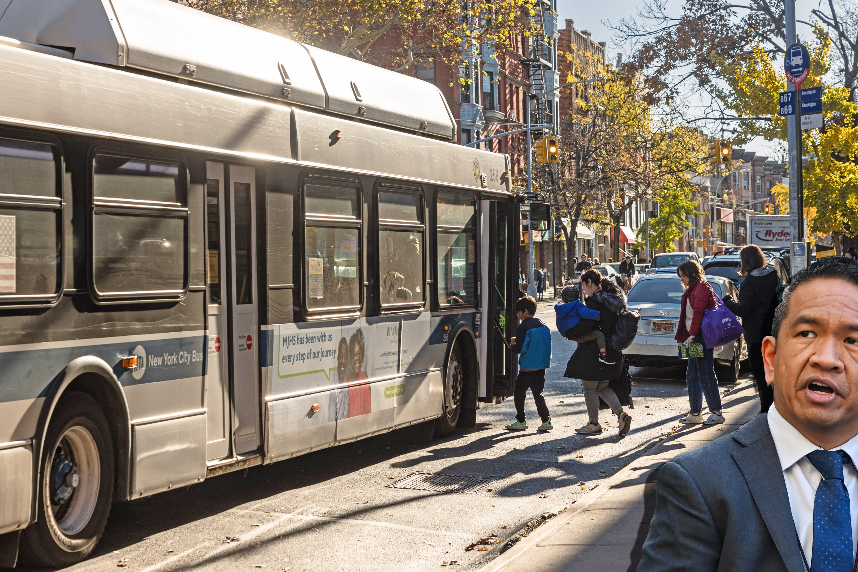
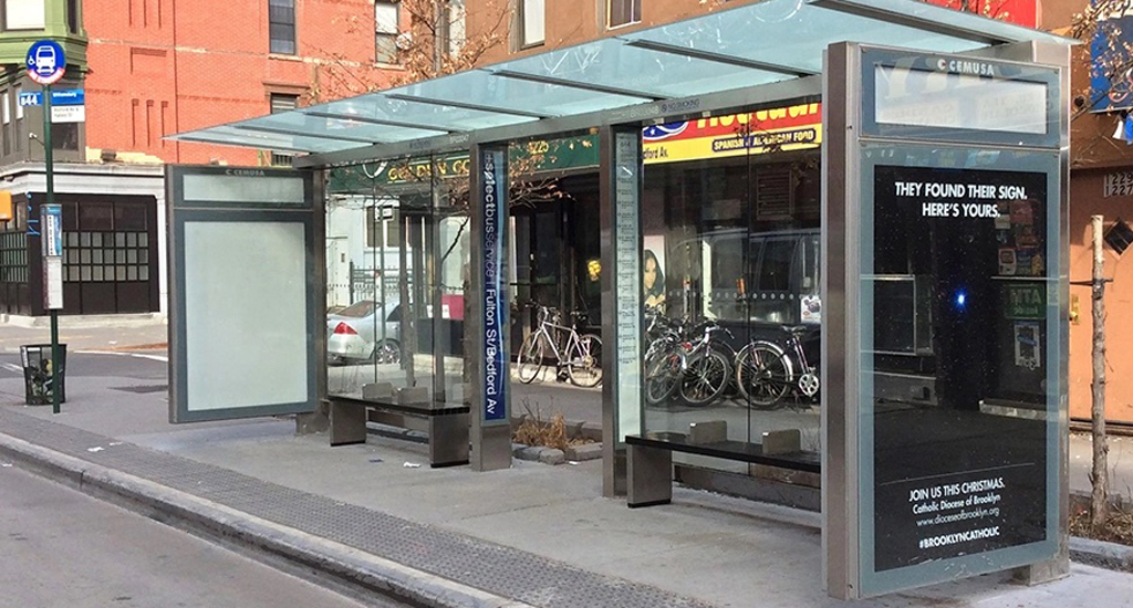
Friday’s Headlines: Gimme Bus Shelter Edition
The days of the Landmarks Preservation Commission reviewing every proposed bus shelter in landmarked districts may be no more. Plus more news.
Deal Reached: Hochul Says ‘Sammy’s Law’ Will Pass
The bill, though imperfect, has been four years in the making.

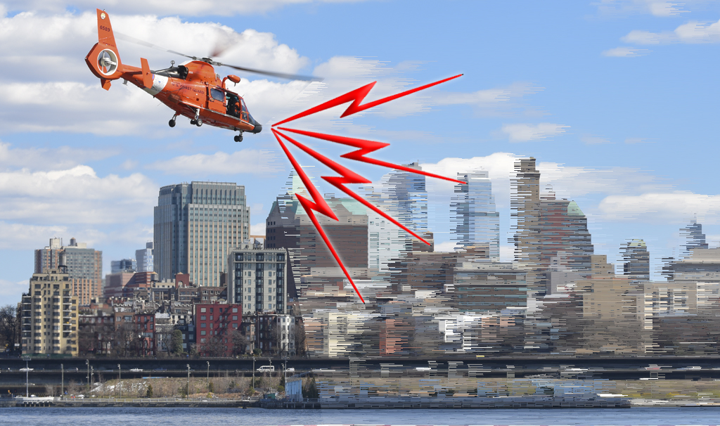
Komanoff: A ‘Noise Tax’ Can Ground NYC Helicopters
A proposed $400 “noise tax” on “nonessential” flights is a start — and it will work.