Change Is Afoot on Conduit Blvd, a Speedway Dividing Neighborhoods

Conduit Boulevard, a wide and dangerous road where drivers speed to and from JFK Airport, could get much-needed safety improvements from DOT between Atlantic Avenue and Sutter Avenue this year.
The street is designed like a highway, with wide travel lanes and north- and south-bound roads separated by a huge median. Vehicle access from Atlantic Avenue is literally an on-ramp. In Nassau County it becomes the Sunrise Highway, which frequently rates atop the Tri-State Transportation Campaign's list of the state's most dangerous roads.
This surface speedway cuts through East New York, Cypress Hills, and Ozone Park, limiting residents' access to transit and curtailing safe walking and biking options within their own neighborhoods. In the neighborhoods along the 2.2-mile stretch covered by DOT's project, most households don't own cars.
DOT plans to present safety improvements to Brooklyn Community Board 5 and Queens Community Board 10 later this spring. The department is currently gathering feedback on the project via an online portal.
With a 30 mph speed limit, Conduit Boulevard is one the few remaining surface streets in the city with a limit above 25 mph. Between Sutter and 90th Street (outside the scope of the current project), the speed limit is 40 mph.

Crosswalks are nearly non-existent on Conduit, but beaten paths on the median testify to the substantial foot traffic. Between 2010 and 2014, 319 people were injured and two pedestrians were killed in crashes within the project area.
"The long distance between crossings on Conduit reinforce the highway feel and encourage speeding," one person wrote on DOT's online portal. Commenters have called attention to the need for safer crossings and the potential to transform the large median into a linear park with a bikeway.
On DOT's bike map, Conduit is flagged as a "future potential bike path," and organizers pushing for a "Southern Queens Greenway" connecting the area's many parks are pushing for that. "If Conduit was bikeable, people would go to [Jamaica Bay]," said Daniel Solow, a Nassau County resident who has been leading the greenway effort. "That road is doing absolutely nothing for people who don't have a car."

The Southern Queens Greenway has a listserve with 170 members and a group of five organizers actively working on the project, Solow said. He's had promising conversations with the local community boards. "People are talking, people are now paying attention to Vision Zero," he said.
Turning Conduit Boulevard into a street where people can walk and bike safely would be a big step forward for the greenway concept and integral to creating cohesive pedestrian and bicycle networks in eastern Brooklyn and southern Queens.
Stay in touch
Sign up for our free newsletter
More from Streetsblog New York City
Tuesday’s Headlines: Valley of Political Death Edition
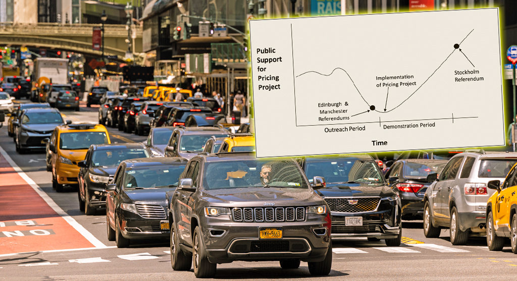
Did you see the new poll showing congestion pricing is really unpopular? Ignore it! Good times are coming. Plus other news in today's headlines.
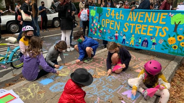
Open Streets Groups Warn of Extra Red Tape to Run Events
Two weeks notice for hopscotch or a yoga class?
Monday’s Headlines: A Federal Case over Parking Edition
We're flicking our bicycle bell over a big scoop last week that no one picked up on...yet. Plus other news.
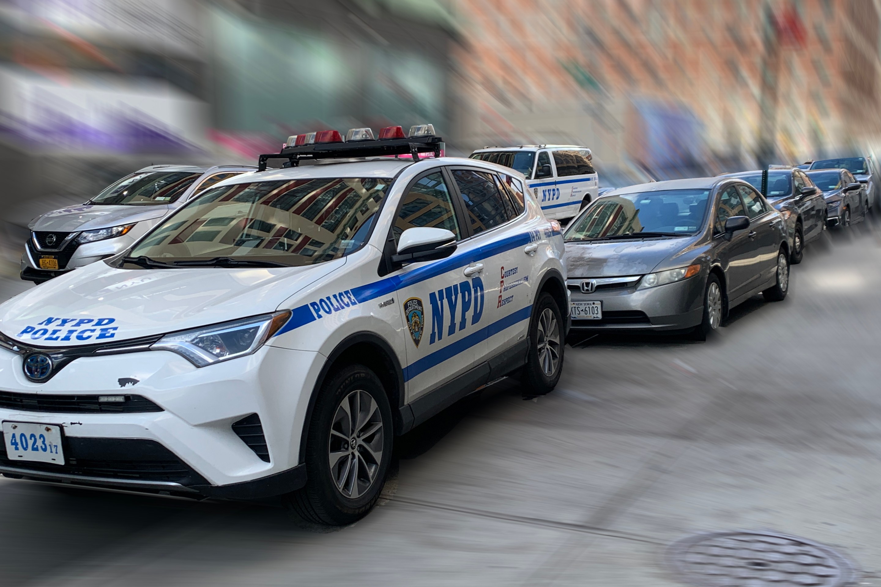
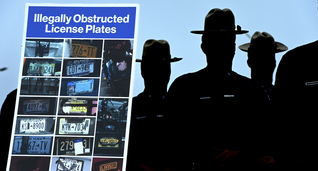
Hochul, Legislators Reach Toll Evasion Crackdown Deal
Higher fines for covering a plate and for not paying tolls are part of the budget deal inked on Saturday.
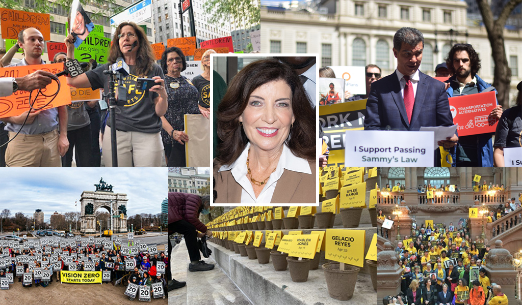
Behind the Scenes: How Gov. Hochul Got ‘Sammy’s Law’ Over the Finish Line
Opponents didn't want to put their name on a no vote for the life-saving measure.