The New Plan to Connect Downtown Brooklyn to Its Waterfront
![The "Brooklyn Strand" covers blocks cleared for expressways and parks in the 20th Century. Map: WXY Architecture [PDF]](http://www.streetsblog.org/wp-content/uploads/2015/03/brooklyn_strand_map.png)
Starting in the 1930s, entire city blocks in Brooklyn Heights, Downtown Brooklyn, and DUMBO were razed for expressways and parks. Today, this jumble of on-ramps and disconnected green space separates Brooklyn's waterfront from its downtown core. A new public-private initiative, called "The Brooklyn Strand," seeks to knit these disjointed areas back together.
On Monday evening, Claire Weisz of WXY Architecture + Urban Design presented the design [PDF] to the Brooklyn Community Board 2 parks committee, Curbed reports. The project is a joint effort of the Downtown Brooklyn Partnership, Brooklyn Bridge Park, the Mayor's Office, the Parks Department, and the Department of City Planning.

The plan has been in the works for a year and builds on other initiatives already underway, like bicycle and pedestrian improvements in DUMBO and near the Brooklyn Bridge entrance at the intersection of Tillary and Adams Streets. It also echoes many of the public space proposals from Transportation Alternatives and the Brooklyn Tech Triangle strategic plan.
The Brooklyn Strand proposal recommends replacing the parking lot between Borough Hall and Adams Street with an underground garage topped by a plaza, reclaiming space from cars in front of the General Post Office building, and adding new bike lanes, according to the Brooklyn Daily Eagle.

The plan would also improve walking connections to the Brooklyn Bridge in DUMBO, creating a pedestrian-priority street where the stairs to the bridge touch down on Washington Street. Space beneath the bridge could be converted to retail use.
Parks and disconnected green spaces along the Brooklyn Queens Expressway east of the Manhattan Bridge will host events and installations from artist group Superflex starting next month. Long-term, the plan calls for better walking and biking connections between all of those spaces.
Stay in touch
Sign up for our free newsletter
More from Streetsblog New York City
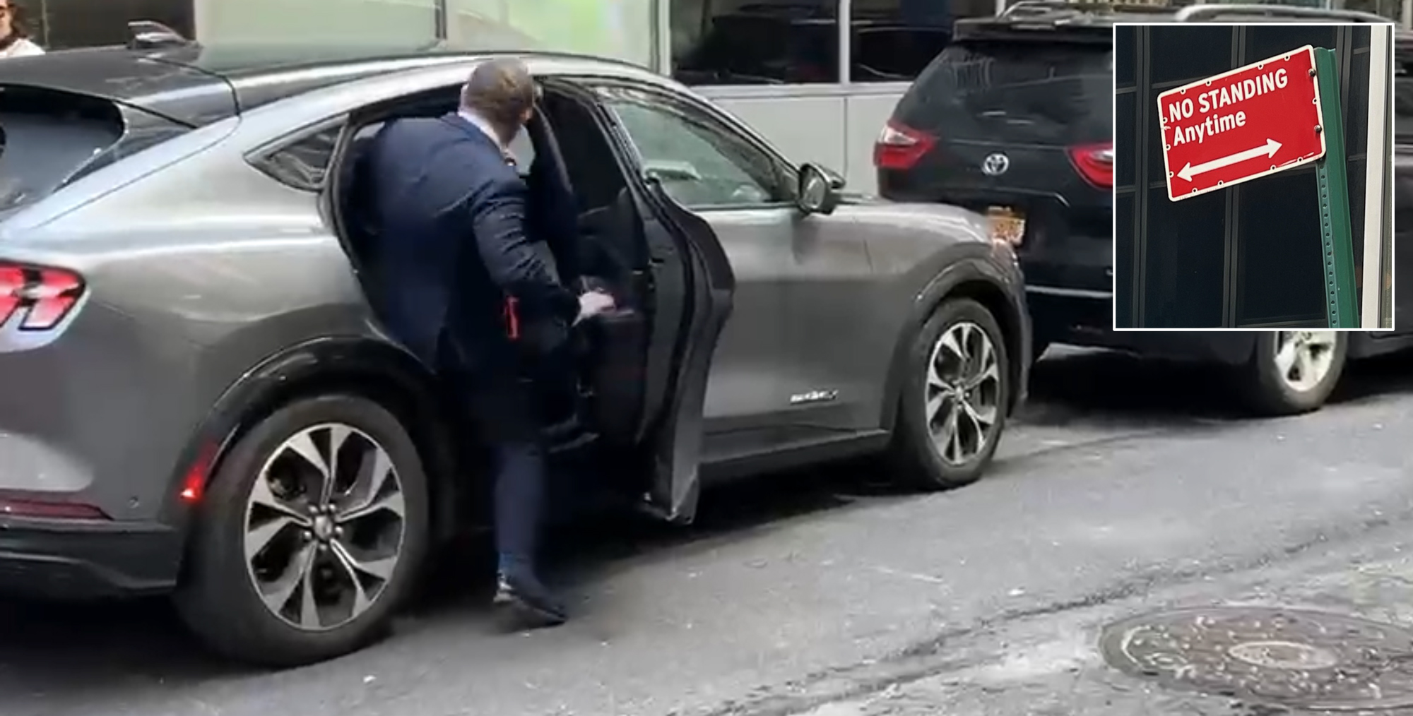
Gotcha-Heimer! Anti-Congestion Pricing Jersey Rep. With a City Speeding Ticket Drove to Manhattan on Wednesday
New Jersey's most vociferous opponent of congestion pricing parked illegally and once got a speeding ticket.
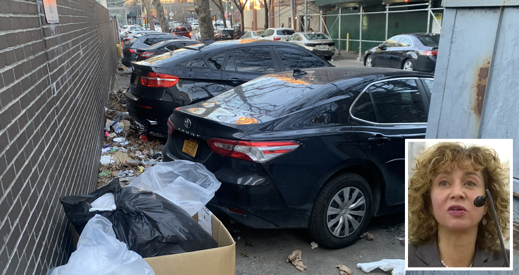
Under Threat of Federal Suit (Again!), City Hall Promises Action on ‘Unacceptable’ Illegal Police Parking
A deputy mayor made a flat-out promise to eliminate illegal police parking that violates the Americans With Disabilities Act. But when? How? We don't know.
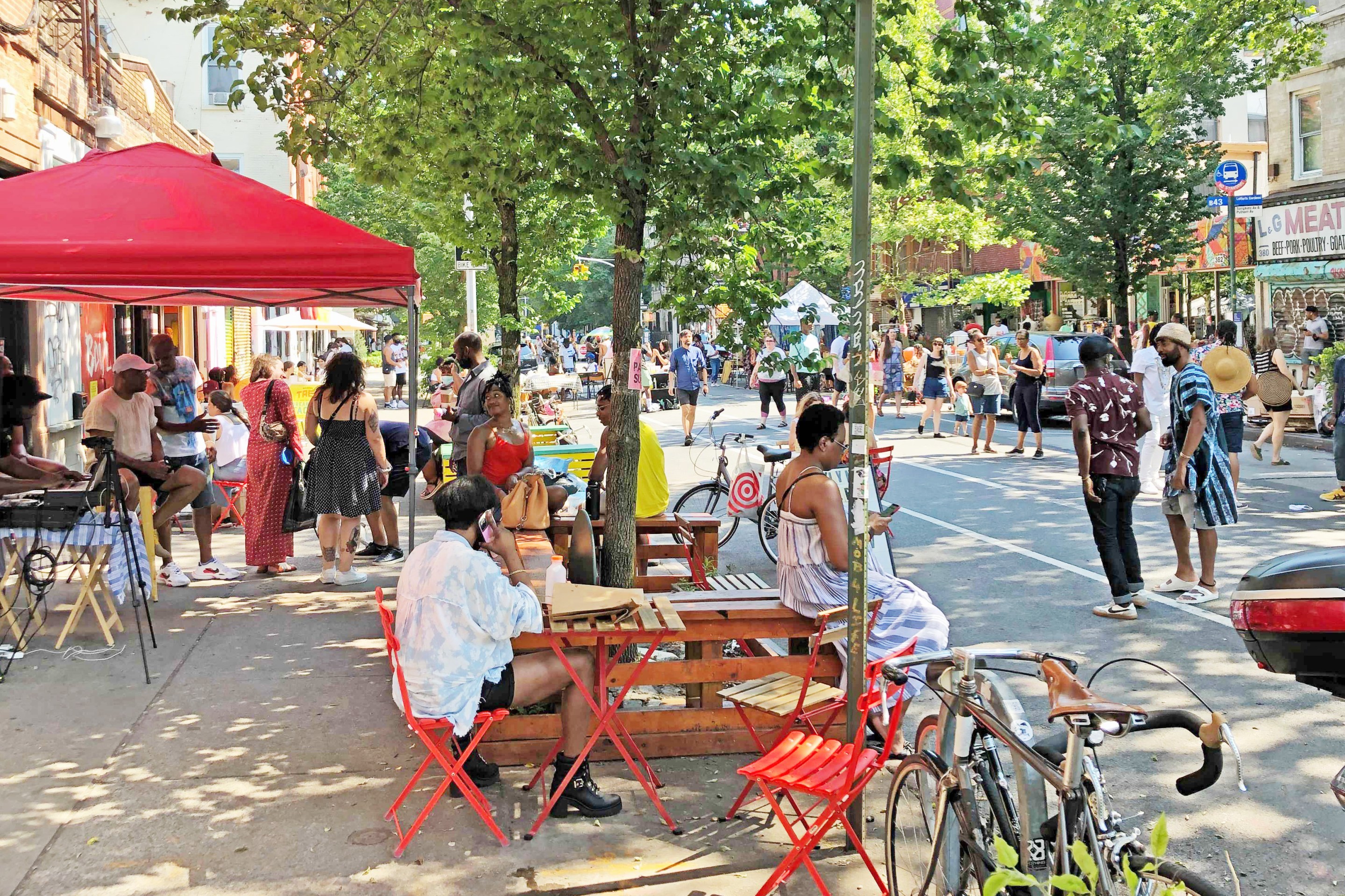
Wednesday’s Headlines: Four for Fifth Edition
The good news? There's a new operator for the Fifth Avenue open street. The bad news? It's four blocks, down from 15 last year. Plus other news.
MTA Plan to Run Brooklyn-Queens Train on City Streets a ‘Grave’ Mistake: Advocates
A 515-foot tunnel beneath All Faiths Cemetery would slightly increase the cost of the project in exchange for "enormous" service benefits, a new report argues.
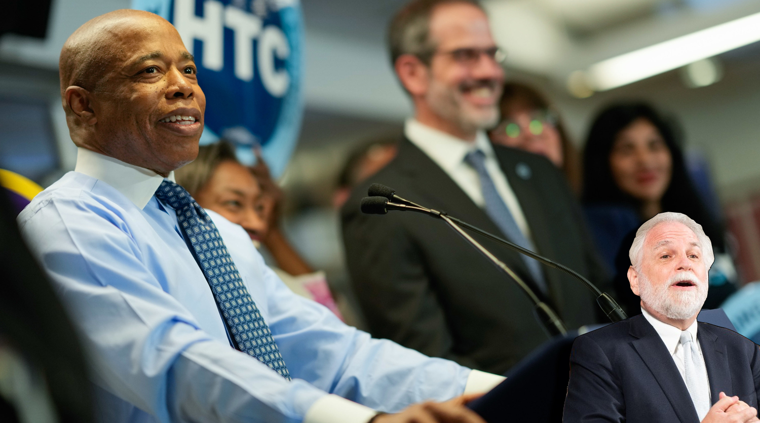
Full Court Press by Mayor for Congestion Pricing Foe Randy Mastro
Pay no attention to that lawyer behind the curtain fighting for New Jersey, the mayor's team said on Tuesday, channeling the Wizard of Oz.