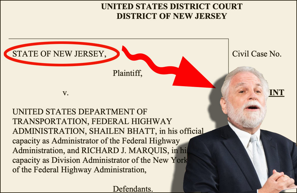
Prepare to be mesmerized. Betsy Emmons has mapped the history of New York City's bike network using the platform MapStory, where she's currently a summer fellow. Watch the city's greenways, bike lanes, and bridge paths expand over 120 years.
You can see the first designated bike routes -- promenade-style parkways designed by Olmsted and Vaux in the pre-automotive era -- crop up on Ocean Parkway and Eastern Parkway. Bike access via bridges and ferries is visible early on -- these are labeled "Class L" in the data, says Emmons, which means they were designated as bike routes but did not necessarily include dedicated space for cycling.
While Robert Moses was remaking the city's transportation system to move car traffic, most additions to the bike network seem to have served primarily recreational routes near the water. Then in the late 1970s, the first on-street bike lanes in the Manhattan core appear on Broadway and Fifth Avenue. More on-street routes show up in the 80s and 90s, and you can see the Hudson River Greenway take shape segment by segment.
As the on-street routes become a more cohesive network with the proliferation of bike lanes in the Bloomberg/Sadik-Khan years, you have to zoom in to get a better feel for all the changes. Though protected bike lanes are not differentiated from unprotected infrastructure in this iteration of the map, in a future version the underlying data could be used to show how those bikeways have recently become more common.
Emmons is a New Jersey native who currently lives and bikes in DC, and her brother commutes by bike from Brooklyn to Manhattan. She wants to use the NYC map and time-based maps of other cities to help tell the story of how bike networks have grown and where they are headed.
"I think it's really amazing to watch the network grow, to see its initial stages in the late 1800s, then it kind of lags, then starting in the 80s and 90s, you see this boom," she said. "I'm wondering what's behind that and what's proposed for the future."
So far she's also completed a DC map and is working on maps of Baltimore and Chicago. The NYC map was especially easy, she said, because DOT publicly posts both the geographic data and the meta-data about time of implementation. Very few other cities have easily accessible time data, she said.
MapStory is currently a public prototype. The organization is aiming for a full public release, where users can comment on and edit other users' maps, in the fall.