Heat Maps Show Where Traffic Takes the Most Lives in NYC

As city government started work on the Vision Zero Action Plan, statistics professor Ben Wellington saw an opportunity to use data on crashes and fatalities to show the magnitude of the challenge.
Wellington teaches a statistics course to Pratt Institute city planning students using open data from New York City government. He also uses city data to create maps on his blog, I Quant NY. This week, he mapped last year's traffic fatalities and cyclist injuries, using NYPD data compiled by volunteers developers into the Crash Data Band-Aid.
Wellington's results show some familiar patterns: Streets like Broadway in Williamsburg, Queens Boulevard, and Grand Concourse pop up in the fatality data, in addition to spikes of traffic fatalities in neighborhoods from Canarsie to Jackson Heights to Midtown. Using city-defined neighborhood boundaries, Wellington calculated that 23 percent of all traffic deaths last year occurred in just five percent of the city's neighborhoods, though fatalities were spread across the city.

There were more than 3,800 reported cyclist injuries last year, with the highest concentrations in Williamsburg, Clinton Hill, Jackson Heights, and Manhattan below 59th Street. Wellington notes that this geographic concentration could be reflective of where the greatest number of people are riding bikes, not necessarily the most dangerous places for cyclists. Though the total number of crashes may be high in a particular zone, Wellington says, the crash rate is likely to be lower due to the high ridership density in the area.
"The hope is that with Vision Zero in place," he wrote, "future maps like this will be much sparser."
Stay in touch
Sign up for our free newsletter
More from Streetsblog New York City
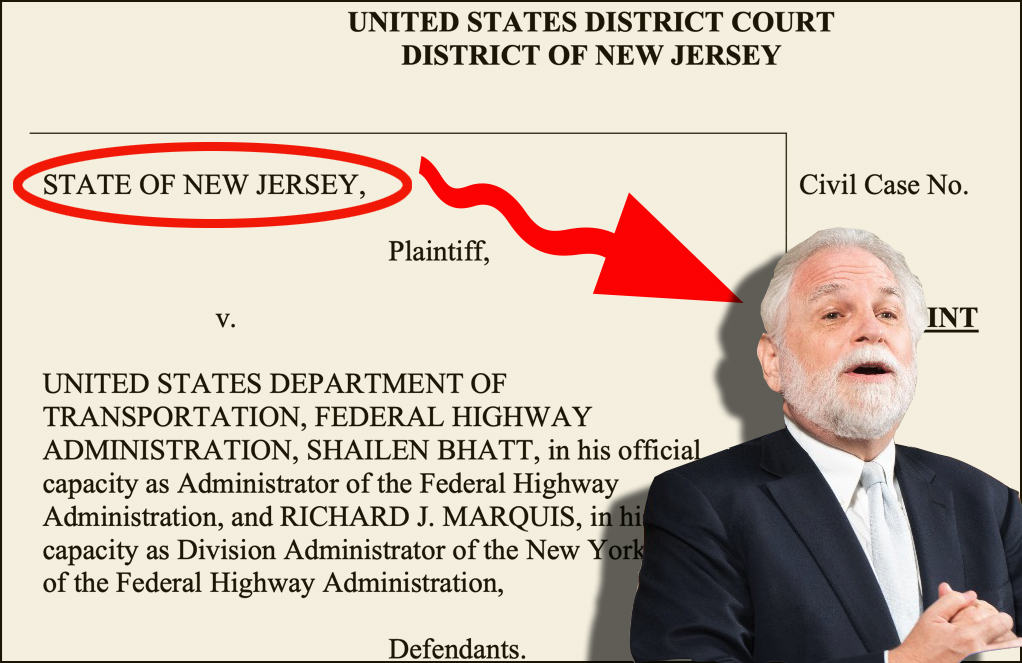
Deal Reached: Hochul Says ‘Sammy’s Law’ Will Pass
The bill, though imperfect, has been four years in the making.
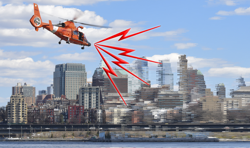
Komanoff: A ‘Noise Tax’ Can Ground NYC Helicopters
A proposed $400 “noise tax” on “nonessential” flights is a start — and it will work.
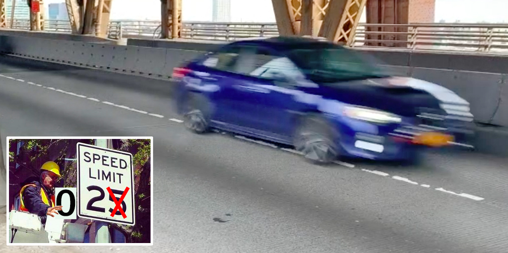
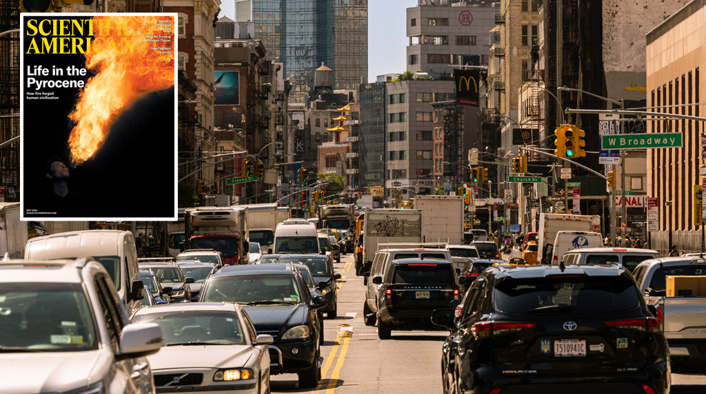
Thursday’s Headlines: Welcome to the War on Cars, Scientific American
Our favorite story yesterday was this editorial in an unexpected place. Plus other news.
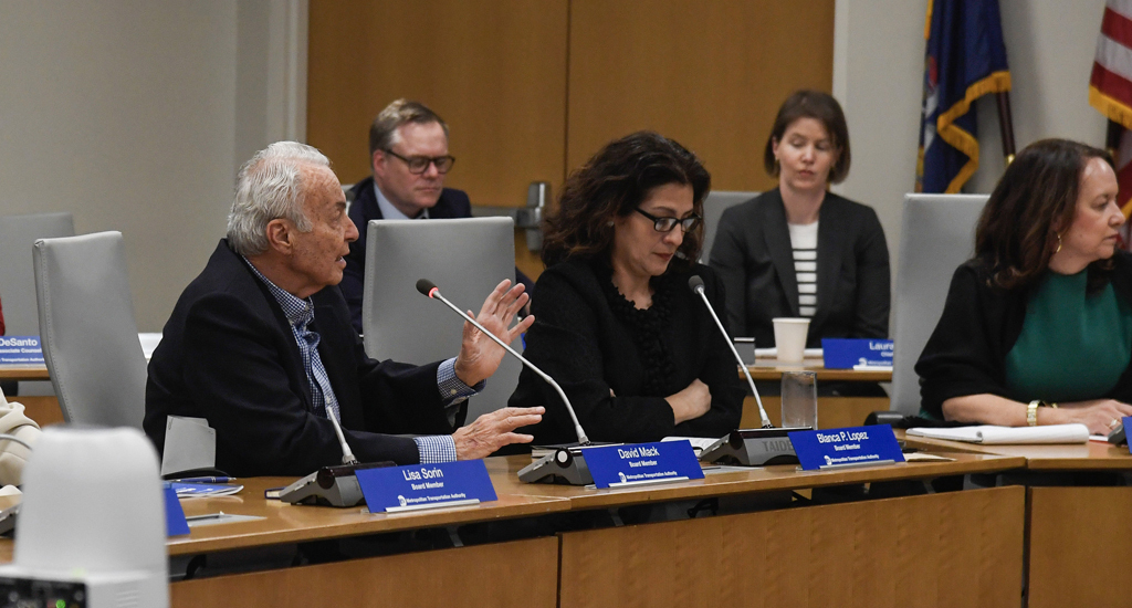
Meet the MTA Board Member and Congestion Pricing Foe Who Uses Bridges and Tunnels For Free Every Day
Mack drives over the transportation authority's bridges and tunnels thanks to a rare perk of which he is the primary beneficent.
Randy Mastro Aspires to Join Mayor’s Inner Circle of Congestion Pricing Foes
The mayor's reported pick to run the city Law Department is former deputy mayor under Rudy Giuliani and notorious foe of bike lanes and congestion pricing.