Draft Plan for Waterfront Promises Greenways, Silent on Ferries
With New York City in the midst of a wholesale rethinking of its more than 500 miles of waterfront, the Department of City Planning recently released a draft of its new comprehensive waterfront plan, Vision 2020. That plan lays out both broad citywide objectives, such as a commitment to building borough-wide greenways across the city, and a long list of site-specific recommendations.
The waterfront plan sets out six goals to balance: providing access to the waterfront, supporting economic development on the working waterfront, protecting wetlands and water quality, enhancing on-water experiences including transportation and recreation, building the city's resilience to the effects of climate change, and enhancing the efficiency of waterfront operations.
"The document itself is a quantum leap forward," said Metropolitan Waterfront Alliance President Roland Lewis, who said it will help "break the barrier between land and water." The city's current waterfront plan was passed in 1992 and quite a lot has changed along the city's shores since then.
One exciting promise laid out in the draft plan is a massive expansion of greenways across the city. The city should "seek to establish and extend borough-wide Waterfront Greenways in all five boroughs wherever feasible," says the plan. It also suggests improving wayfinding from upland areas to the greenway network.
Rob Pirani, director of environmental programs at the Regional Plan Association and the head of an informal coalition in support of greenways, suggested that such a commitment is an important step forward for the city. "Instead of it being one-off projects, what's being proposed is that the city would be forwarding these waterfront greenways throughout the city."
Of course, added Pirani, a general commitment isn't enough to develop a full greenway system. "Part of it is money," he explained, "but it's also guidance from the Mayor's Office to get DOT, Parks, in some cases EDC, and City Planning for the private properties, to work together on a specific vision." After that, the difficult work of block-by-block siting also needs to occur.
When it comes to waterfront transportation, many in the city have long had interest in expanding New York's ferry system. This plan, however, remains largely silent on waterborne transport, choosing to wait and follow the NYC Economic Development Corporation's forthcoming report on the issue. "That's a criticism right now," said Lewis, who said that at public meetings in each of the five boroughs, ferry service emerged as a top request.
The draft plan does, however, suggest weaving ferries into an intermodal network, such as by integrating them with MetroCards, and encouraging development near ferry stations to create ridership. Recently, some ferry lines have had to cut off service, unable to operate continuously without substantial subsidies.
One aspect of the city's draft plan that has drawn criticism is the treatment of heavy industrial uses. The plan suggests a variety of ways to use the waterfront to support industry, but according to Eddie Bautista, the executive director of the NYC Environmental Justice Alliance, it isn't revising a policy that has overburdened certain low-income communities with disproportionate pollution and truck traffic.
Under current policy, in the city's six Significant Maritime and Industrial Areas development applications are subjected to much less strict regulations, he explained, leading to clusters of heavy industry, not all of it water-related, in these neighborhoods. The draft plan offers to review each SMIA individually, but Bautista is hoping for a full-scale policy change. "There's an overarching policy that has driven these uses to a handful of communities," he said.
DCP's draft plan also has site-specific recommendations for the length of the waterfront. Here's some of the more notable transportation-oriented ones:
- On Manhattan's East Side, study a swap that would allow the greenway to continue past the United Nations.
- On the West Side, improve pedestrian and bike paths along the Midtown cruise terminals.
- On the Upper West Side, add more connections between Riverside Park and the waterfront.
- In the Northwest Bronx, reopen the High Bridge and improve pedestrian access over the Major Deegan.
- In the South Bronx, support the implementation of the South Bronx Greenway plan.
- Along the Bronx River, "Identify improvements to waterfront access and open space connections along the Bronx River in conjunction with the State’s Bruckner-Sheridan Interchange project access and open space connections along the Bronx River." Helpful hint: this would be far easier without the Sheridan Expressway in the way.
- In the East Bronx, possibly build a bike path from Co-Op City to Pelham Bay Park.
- In Queens, continue implementation of the Queens East River and North Shore Greenway.
- In Southeast Queens, demap the unbuilt Nassau Expressway through Idlewild Park.
- In Brooklyn Heights, explore mass transit options to Brooklyn Bridge Park.
- In Red Hook, seek to minimize traffic conflicts between trucks and pedestrians and cyclists.
- Along Staten Island's North Shore, redesign the length of Richmond Terrace ot have wider sidewalks, bike lanes, and turn lanes.
- At Fresh Kills Park, consider ferry, light rail, or BRT service to expand access.
- Over the Bayonne Bridge, incorporate a transitway, bikeway, and walkway into the new design.
Local activists gave the plans for their neighborhoods mixed reviews. "Overall, it's headed in the right direction," said Miquela Craytor, the executive director of Sustainable South Bronx. While she was encouraged that the plan supports the South Bronx Greenway, she was disappointed with the silence on her neighborhood's working waterfront. On the one hand, she didn't see enough that would "ensure the opportunities for business and economic development along that waterfront," while on the other hand, she said that not enough was done to mitigate truck traffic driven by existing waterfront industry. "The South Bronx has plenty of those, and some of the highest asthma rates in the country," she said.
With regards to the East Side Greenway, Upper Green Side president Michael Auerbach suggested that the draft plan didn't offer anything new; the city having laid out its hopes for the greenway at a town hall meeting in June. "Without dedicated funding to make the project happen," he said, "it will remain as a recommendation on every waterfront plan from here to eternity."
The plan remains just a draft for now, of course. To give feedback, you can attend a public hearing scheduled for October 12. The final report is expected at some point this year.
Stay in touch
Sign up for our free newsletter
More from Streetsblog New York City
Justice Dept., Citing Streetsblog Reporting, Threatens to Sue NYPD Over Cops’ Sidewalk Parking
The city is now facing a major civil rights suit from the Biden Administration if it doesn't eliminate illegal parking by cops and other city workers.
What to Say When Someone Claims ‘No One Bikes or Walks in Bad Weather’
Yes, sustainable modes are more vulnerable to bad weather. But that's why we should invest more in them — not less.

NYC Transit’s New Operations Planning Chief Wants To Fight ‘Ghost Buses’
One-time transit advocate and current MTA Paratransit VP Chris Pangilinan will oversee bus and subway operations for the whole city.
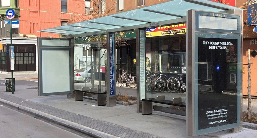
Friday’s Headlines: Gimme Bus Shelter Edition
The days of the Landmarks Preservation Commission reviewing every proposed bus shelter in landmarked districts may be no more. Plus more news.
Deal Reached: Hochul Says ‘Sammy’s Law’ Will Pass
The bill, though imperfect, has been four years in the making.